DJI Mavic, Air and Mini Drones
Friendly, Helpful & Knowledgeable Community
Join Us Now

Permission

Janne Swede

Active Member
Joined
Jun 12, 2019
Messages
37
Reactions
23
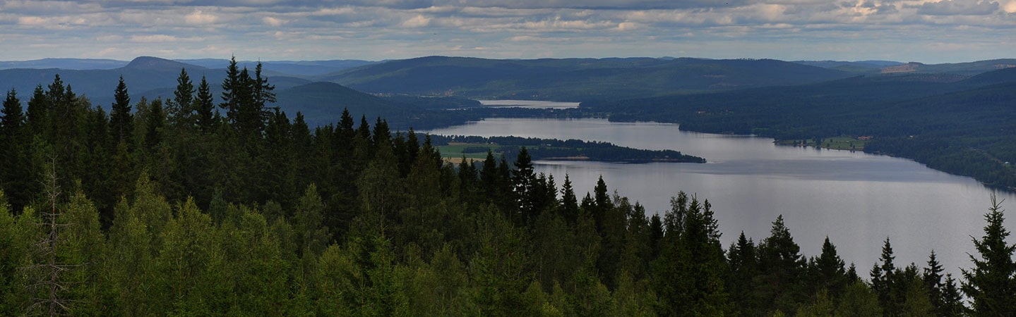
In Sweden you have to get permission from the authorities to publish drone pictures where you can see the horizon. To see how quickly you can get answers, I filled out a form online and attached the image I wanted to publish.
The application were sent on Thursday 06.41 and the reply on mail came the same day 10.52, the days efter at 10.00 the reply came by mail.
I get ok to publish.
I call that quick handling.
 
Glad to hear that you got your clearance.

Interesting law... is it only drone pics? Do you understand the reasoning behind the law? Is it for each and every single drone pic with the horizon, or a one time thing?
Thanks in advance.
 
  • Like
Reactions: Imagineimagery
It,s not only pictures with the horizon in sight, Every picture where it might be a military facility or protected area is also forbidden to distribute or share.
 
The reviews, done by the Lantmäteriet, is primarly to check if there is any sensitv military information on the video. You can read that in the permit, since they are issued with a reference to "defense of Sweden".

The process is really easy and fast. I did 21 requests in a period of 3,5 weeks, the fastest reaction was within 36 hours, the longest took 5 working days. After filling out the form online, you get an email with a link to upload the files. I uploaded the video (complete, uncut), the flight log (.dat file), a sceenshot of the flightpattern created in google earth and a screenshot with the basic information (place, date, time, altitude etc). The biggest video I uploaded was 1,6 GB, you can upload up to 30 GB on each application.

The process is free of charge, after the permit is issued you get an short email informing you and you will find a letter in your "snailmail" with the complete permit.

I had some contact with the Lantmäteriet in advance, since I wasn't sure about the procedure and was pleasnatly surprised by the friendly and uncomplicated way of communicating.

This is the link to their site, if you change the language in english, you will get al correspondence in english too.

 
Glad to hear that you got your clearance.

Interesting law... is it only drone pics? Do you understand the reasoning behind the law? Is it for each and every single drone pic with the horizon, or a one time thing?
Thanks in advance.
hello
Yes it is for every drone image, of course there are a lot of other restrictions also regarding military installations, power lines etc. I don't know what it is like if you didn't have drones for photography I just read the rules for drones.
 
hello
Yes it is for every drone image, of course there are a lot of other restrictions also regarding military installations, power lines etc. I don't know what it is like if you didn't have drones for photography I just read the rules for drones.
Flying a drone is, within the usual restrictions regarding crowds, airports, naturreservats etc, completly uncomplicated. This, combined with simply human sense and a little bit of decency makes flying in Sweden really fun to me. Regarding the videofootage, as long as you don't publish, no problem at all, and otherwise the simple proceedings as described before.
 
That's extremely stupid, it's actually giving away information while achieving absolutely nothing.
You might not know there's something sensitive in your photo, but if you get a refusal now you know there is, which gives it much more value if you're that type of person/organization. Now you can just go on google earth and look at it in detail.
 
  • Like
Reactions: dawgpilot
That's extremely stupid, it's actually giving away information while achieving absolutely nothing.
You might not know there's something sensitive in your photo, but if you get a refusal now you know there is, which gives it much more value if you're that type of person/organization. Now you can just go on google earth and look at it in detail.
Nope, it is not.
To start at the end, Google Earth is not as adequate as people think. The footage used their is also based on redacted and released satelite material, things that are not supposed to be shown are not shown there.

What you need as a military organisation is a way, as effective as possible, to check if your really hidden infrastructure is wel integrated in its environment. Hiding does not mean "to make invisible" but "to integrate in a way that people see but don't recognize". But you need to check that and regular checks are expensiv. So you look for a way to get regular checks for free. Is there a cheaper way then putting up a rule that requieres everybody who flies a drone and make pictures or video to send it to youfor release? I don't think so. You get tons of material you classify for internal use, mark the spots that need to be "repaired" and then release the footage anyway. People who have sent you the material will not know what you have found, they simply don't know what to look for and who is really watching everything that shows up on youtube, vimeo, facebook or all the other platforms?

I have about 2 TB of footage from Sweden this summer, all released, partially published and less then a 1.000 views. No risk for the defense of the nation at all.
 
Being able to see higher than trees is causing huge headaches for more paranoid governments hence crazy laws like this.
Greece is amusing - they pixelate airports, even civilian airports if theres a military hanger despite 10s of thousands of people with mobile phones 50m from it every day.
The radar and other stations also amuse me, the areas are pixelated on Google Earth but they forgot about street view where you can get enough detail to even read small details on signage in the area.
 
Lycus Tech Mavic Air 3 Case

DJI Drone Deals

New Threads

Forum statistics

Threads
130,974
Messages
1,558,490
Members
159,964
Latest member
swigmofa