

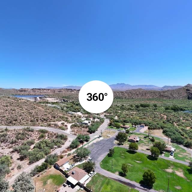
I intended to try and get a complete picture of this small lake in Gwinett County GA at a local park. I flew my drone out to the center, elevated to 400 feet, turned the gimbal down and could see with the main camera that the view was only of about 60% of the lake. I thought a Pano would take the six or so pictures looking down and then stitch them together and I would have met my objective.
instead the camera tilted upward to start the multi picture shoot and I got a nice picture of half the lake and the surrounding scenery looking forward. Did I do somehting wrong perhaps? The manual is not very clear on this issue.
Any comments or assistance would be appreciated. Again my goal is to have a shot of the complete lake which I think I would get if the Pano was centered on the direction of the Gimbal down. Does the limitations of Gimbal movenment beyond directly down influence this limitation?
The other solutions is to fly much higher than the limits of 400 feet, which I am unwilling to do.
This is for my own use and not for a client or others as I am a hobbyist and not a pro.


.jpg")


