


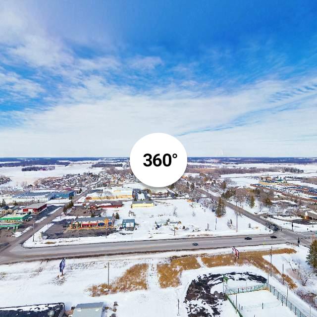
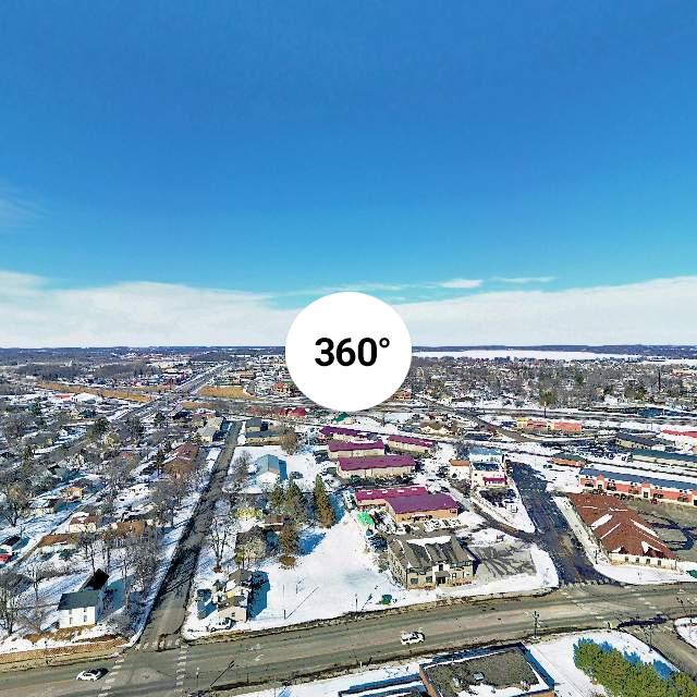
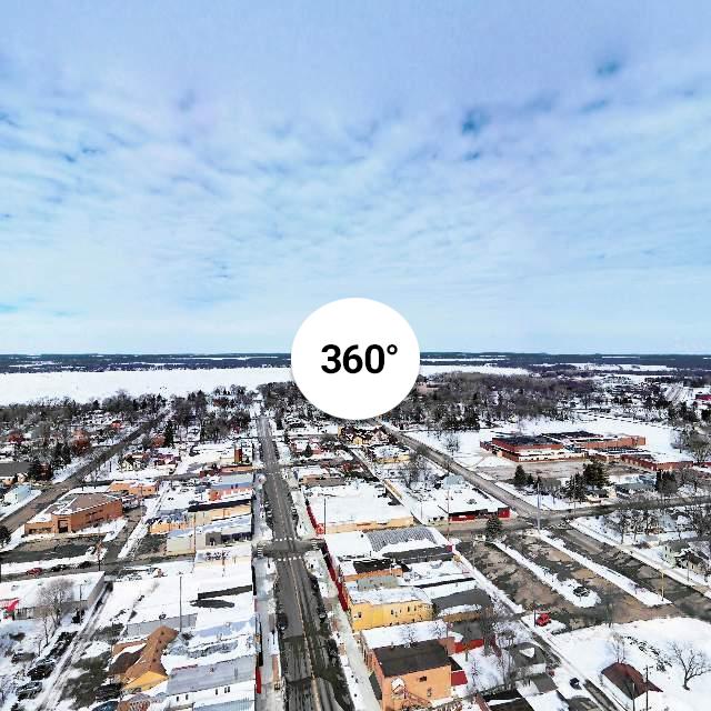
These photo's (3) are towns in our area with our home town of Maple Lake being one of them. They're 360° Panorama's from our Mavic 2 Pro using the Sphere photo option for producing them. I do use a few different software editing programs for tweaking them, trying to get them to that acceptable appearance. 
 kuula.co
 kuula.co
 kuula.co
Maple Lake Minnesota along Hwy. 55 and Star Street.
Maple Lake Minnesota along Hwy. 55 and Star Street.
Buffalo Mn. along Hwy 35 and 1st Street North.
Buffalo Mn. along Hwy 35 and 1st Street North.
Annandale Mn. along Hwy.55 and Harrison St. West.
Annandale Mn. along Hwy.55 and Harrison St. West.


