


Hi Guys,
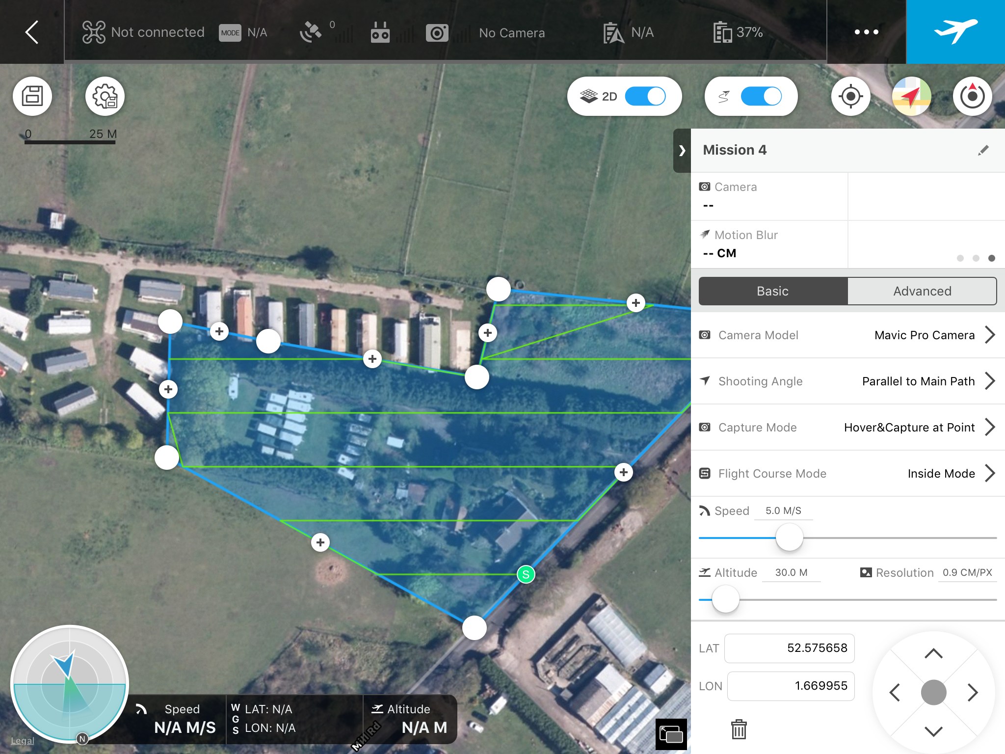
I'm playing around with Groundstation Pro mapping some of our land.
Does anybody know how to swap the start and finish point? I like to finish my flights with a tail wind back to my start point, whilst not essential for this size survey on larger surveys it would be good practice to tailor the start and finish point so the drone spent as little time flying into the wind!
Thanks in advance for your help guys!
Jamie


