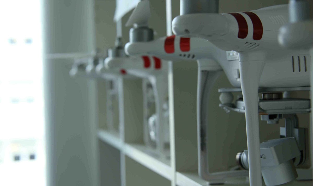
I recently started looking into taking on some mapping jobs. I was disappointed to discover that neither of my current drones seem to be capable of using software like Drone Deploy. I have owned numerous DJI drones, and now it appears that I should have held on to one of the older ones.
I currently own a Mavic 3 Classic and a Mini 4 Pro. Is there a workaround to utilize either of these drones for mapping projects? If not, what is a good option for a used drone that would work well for this without breaking the bank? I obviously need to weigh the potential return on investment before purchasing another drone specifically for this purpose.
Any advice regarding a drone for mapping and which apps are the best and/or most popular would be greatly appreciated!


