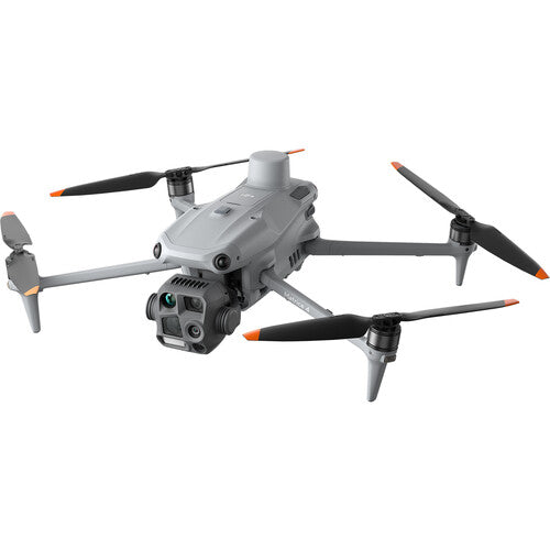
After a few false starts I finally got large waypoint grid surveys working on the Mavic 4 Pro. Litchi has a beta Hub that can output files you can put on the RC-2 Pro. Still Beta and it does have a few errors that crop up. The M4P is a bit tricky on resuming waypoint flights after battery change. Still I could get a 950 waypoint mission done with three batteries at 7 mph over 18 km. This was slightly amazing, since it was also lugging a survey IR camera on its belly and its GPS receiver on top. Should be able to do this easier as I work out the workflow a bit smoother. While not RTK precision, not at all bad, especially if I drop some fiducial marks on surveyed points.
Visible, 950 images

3 Band IR 560 Images

Mavic 4 Pro with Survey Camera mounted

Visible, 950 images
3 Band IR 560 Images
Mavic 4 Pro with Survey Camera mounted