


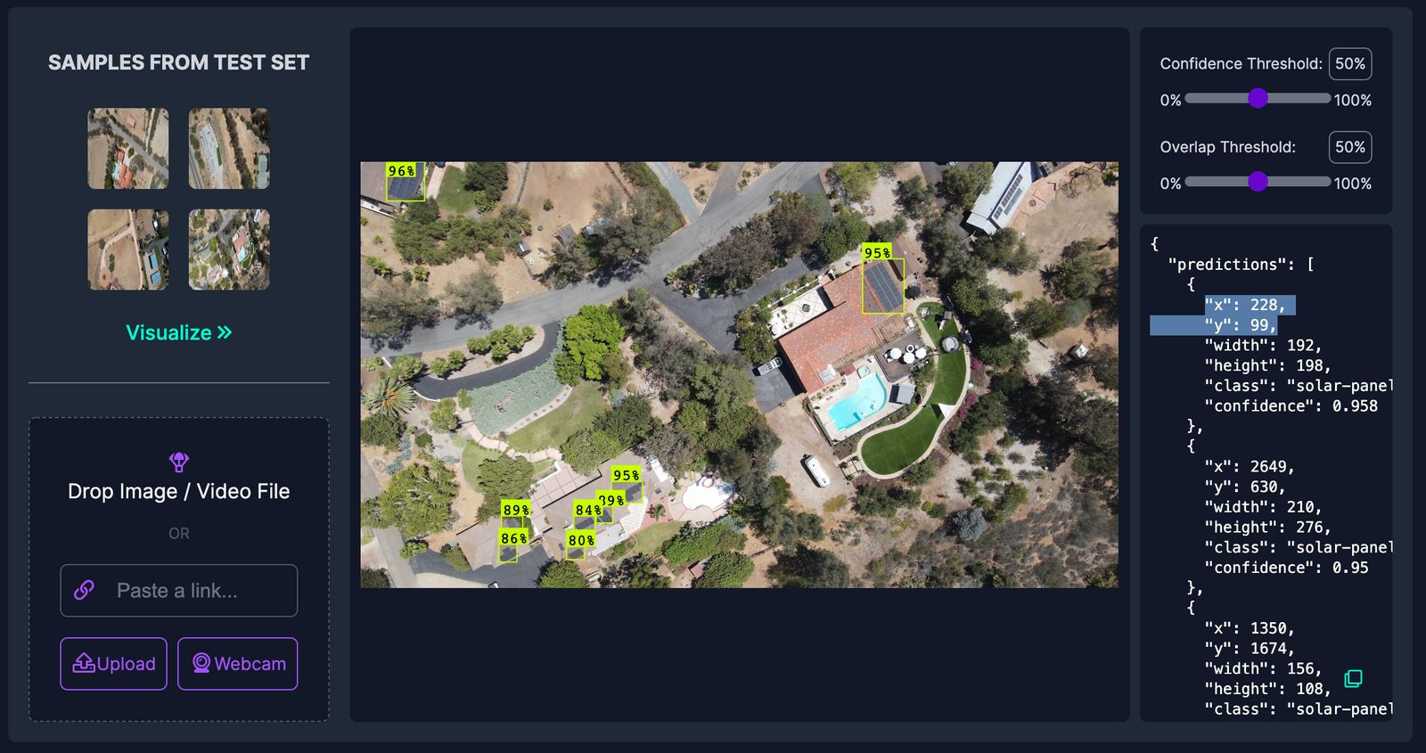
Hey all, here's an app that can find objects of interest in a drone (Mavic Air 2) videos using a computer vision model & then plot them on a map using the flight log. This example finds solar panels, but this same thing could be used for things like search & rescue or looking at roof damage or pretty much anything else you might be looking for from the air.
The published code is here: GitHub - roboflow-ai/dji-aerial-georeferencing: Detect objects in drone videos and plot them on a map
And you can try it out with your own drone videos & flight logs here (all the processing happens in your web browser; your flight logs & video never leaves your computer): roboflow-ai/dji-aerial-georeferencing
Would love to hear what you think & if you have ideas for other ways to use/improve it!


