- Joined
- Jan 29, 2024
- Messages
- 23
- Reactions
- 43
- Age
- 23
- Location
- Raleigh, United States
- Site
- youtube.com
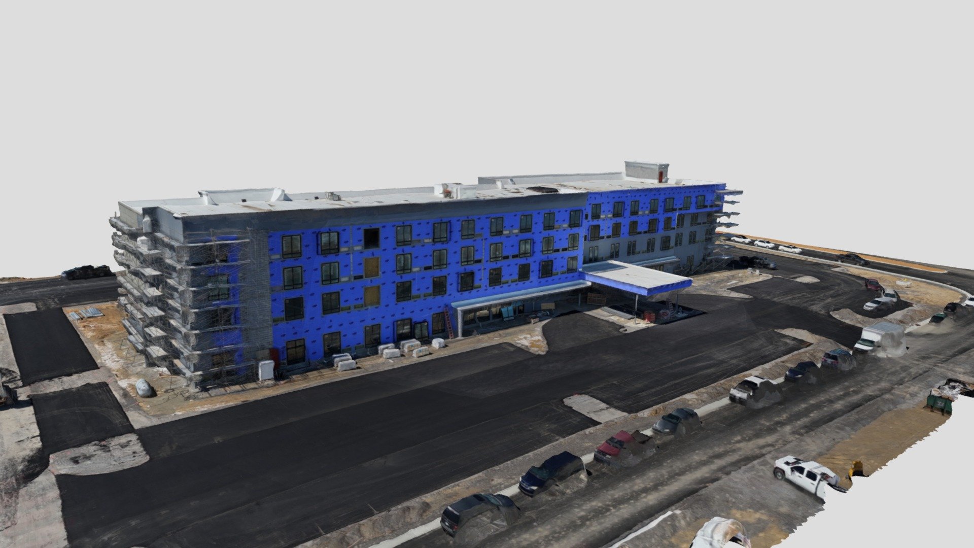
That's awesome! I'll be launching my photogrammetry service this month as well, be curious to know how it competes? We get final RTK attachment boards back this month as well.