i Just started playing with DJI GS Pro. It seems to be a very good software.
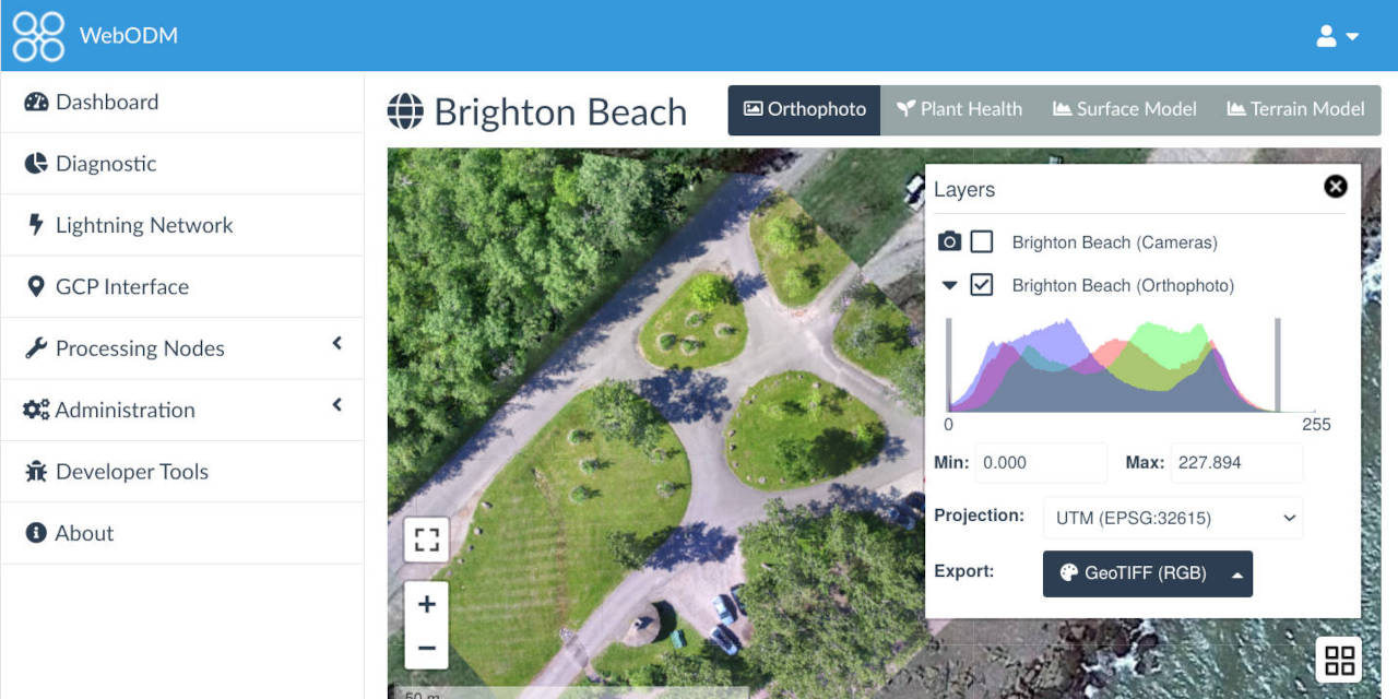
I tried 3D mapping. I thought it will give me a 3D map in the app. But then realized that I will need another software to model the map with the photos drone took.
Any comment on a free software I can try?
Thanks.
I tried 3D mapping. I thought it will give me a 3D map in the app. But then realized that I will need another software to model the map with the photos drone took.
Any comment on a free software I can try?
Thanks.


