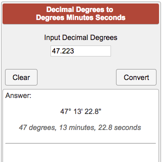
For the 107 pilots out there, when was the last time you read a sectional chart and how did it help you? I have to admit at first I thought learning to read these was a silly part of the test, but now as I'm training to take the Part 107 test, I feel like learning to read these charts connects me with a part of the history of flying and I can even see how it could be useful.
It took a few months, but I finally got an art quality sectional chart for where I fly framed and on the living room wall. And, with my wife's permission no less! It's quite a bit more massive than I expected, measuring 89" x 45" so it does dominate the living room wall there. Maybe one day a pilot will come over for dinner and be impressed but in the mean time it's a nice bit of art for the wall and actually has real information value.
Yes I know it will eventually become out of date... But not as art.


")