DJI Mavic, Air and Mini Drones
Friendly, Helpful & Knowledgeable Community
Join Us Now

DJI FLY app not reporting the correct height while flying

johnemt23

Member
Joined
Sep 23, 2020
Messages
8
Reactions
9
Age
57
Location
Tampa Bay Florida
Hello from Tampa Bay, Florida. I am new to the drone world and have a question . I have been flying the MA2 for a couple of weeks and have noticed that it is reporting the height wrong. I have calibrated the gps and IMU several times thinking it ma correct the error but it hasn’t. Is there a way to get it to report a more accurate height?

Thank you in advance for any help you guys can give me...
 
  • Like
Reactions: Chetk7677
Hello Johnemt:

Welcome to the forum!

When you determined that the height reported by DJI App was incorrect, were you comparing it to the height above the takeoff point, height above ground at the drone’s position, or height above mean sea level?

The app reports height above takeoff point. This can appear misleading if one expects height above ground or above mean sea level.

Howard
 
  • Like
Reactions: A.O.
I was above the takeoff point and when I landed it was saying that it was 5ft below sea level and we are about 35 ft above sea level

The drone never reports your height above sea level, just the height above the take off point. Sometimes the barometric sensors it uses for that can be inaccurate, especially if the pressure has changed since take off. However if it's constantly significantly off, you might want to file a warranty case with DJI.
 
  • Like
Reactions: Thomas B
I was above the takeoff point and when I landed it was saying that it was 5ft below sea level and we are about 35 ft above sea level
if you launched from +35 ft above sea level, to indicate 5 feet below sea level, the screen display would have been showing -40 ft.
That's because the drone has no knowledge of sea level and all heights are relative to the launch point.
It sounds like yours was just showing 5 ft lower than the launch point.
The barometric sensor commonly varies +/- 10 ft over the time of a flight so a 5ft difference is something-nothing.
 
  • Like
Reactions: Slade
Welcome from Nature Coast, FL.

On the other hand, the altitude reported with the photos and videos is AMSL, likely from GPS. That too can be inaccurate.
 
I find that the altimeter can change quite a bit during a flight as a flight goes on by several feetAnd that’s true with both apps
 
The altitude readings for my P3 4K, MA, and P4adv have all had significant, inconsistent errors in them. Between the varying air pressure and the accuracy of the sensor expecting accuracy isn’t realistic.

Using a costly marine gps on a boat at sea level gives equally inaccurate results, usually 10’s of feet.
 
Using a costly marine gps on a boat at sea level gives equally inaccurate results, usually 10’s of feet.
I remember one night tucked into a tiny dark anchorage just off the coast of Isla Isabela when the GPS simultaneously showed us as onshore and underwater!

Howard
 
Why would you need altitude readings when on water? Other than tides, you're always at sea level!
Right you are, DanMan. But the GPS we were using did double duty as a terrestrial unit so the screen showed altitude as well as barometric pressure (which is useful on a boat for weather changes).

Howard
 
I remember one night tucked into a tiny dark anchorage just off the coast of Isla Isabela when the GPS simultaneously showed us as onshore and underwater!
If it's showing the boat onshore, it's likely that the mapping was bad or you had a very dodgy position fix rather than a good 3D fix.
But you'll often find that your GPS gives bad information regarding sea level.
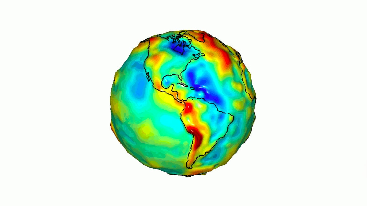
That's because the GPS is using a mathematical approximation of the earth's shape and doesn't know where sea level actually is.
It would be simple if the earth was a perfect sphere, but it isn't.

The full explanation is here:
 
I remember one night tucked into a tiny dark anchorage just off the coast of Isla Isabela when the GPS simultaneously showed us as onshore and underwater!

Howard

I can't be the only one that got a Jurassic Park flash back on that name just a bit and had to google???
 
I can't be the only one that got a Jurassic Park flash back on that name just a bit and had to google???
Hello Repaid1:

Sorry, didn't mean to be cryptic. I was referring to Isla Isabela in the Galapagos Archipelago. We had a sailboat (Olson 40) there as a research support vessel from 1993 through 2004.
If it's showing the boat onshore, it's likely that the mapping was bad or you had a very dodgy position fix rather than a good 3D fix.
Definitely a combination of less than precise digital mapping (this was 1994) and very old school GPS. Plus we were only about three boat lengths from shore with three anchors out- but I digress!

Howard
 
Lycus Tech Mavic Air 3 Case

DJI Drone Deals

New Threads

Forum statistics

Threads
131,534
Messages
1,563,995
Members
160,436
Latest member
GillesdeColombes