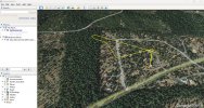
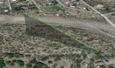
I've seen the results of the users who post their flight logs for assistance on some anomalous flight issue to "Phantom Help" where the flight path is overlayed onto a satellite image. I think that is fairly cool to see. Yeah, I know, geek.
Is there a way to get that info and plot it without using "Phantom Help" to get it? I wouldn't use resources for my curiosity that can be better used to actually help someone that's had a real problem.
Is there a way to get that info and plot it without using "Phantom Help" to get it? I wouldn't use resources for my curiosity that can be better used to actually help someone that's had a real problem.


