AMann
Well-Known Member
[QUOTE
That example uses passive imagery- the collection of a wide range of reflected light spectra to identify plant health. It’s a technology known as normalized difference vegetation index (NDVI). It cannot be used to penetrate the ground and determine what lies beneath as active remote sensing such as ground penetrating radar (GPR) can. Another active technique involves the use of lasers to determine ground heights, known as Lidar. This is more invasive than photographing the landscape since it uses actively transmitted laser light to directly sample distance information from the subject. The most invasive of all these active techniques is GPR, it directs penetrating microwave energy into the target to gather hidden information from beneath or inside it. It’s a kin to using a laser to bounce off the windows of a building to sense and interpret the vibrations on them from what the occupants are saying inside the building.
Again, I cry foul on the claim that a company used a drone to utilize active remote sensing technologies to analyze the OP’s property without their permission.
I believe this may be what he is talking about:

Services
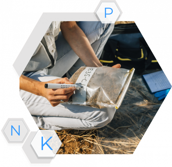
Data Collection Services for Farms and Agriculture in the United States and Canada . Order Soil Sampling, Imagery Flights, Plant Tissue Sampling, Sensor and Equipment Installation.deveronuas.com
Is it legal for someone to photograph your property? Yes, there is no expectation of privacy outdoors, and of course the air is property of the FAA not you, so they can fly over you.
Is this buyer feeding you bad info to get you to lower your price? Maybe. But this is why you have a real estate lawyer...
That example uses passive imagery- the collection of a wide range of reflected light spectra to identify plant health. It’s a technology known as normalized difference vegetation index (NDVI). It cannot be used to penetrate the ground and determine what lies beneath as active remote sensing such as ground penetrating radar (GPR) can. Another active technique involves the use of lasers to determine ground heights, known as Lidar. This is more invasive than photographing the landscape since it uses actively transmitted laser light to directly sample distance information from the subject. The most invasive of all these active techniques is GPR, it directs penetrating microwave energy into the target to gather hidden information from beneath or inside it. It’s a kin to using a laser to bounce off the windows of a building to sense and interpret the vibrations on them from what the occupants are saying inside the building.
Again, I cry foul on the claim that a company used a drone to utilize active remote sensing technologies to analyze the OP’s property without their permission.
Last edited:


