Hi there,
so as said i am looking to buy a Mavic 3 T. I will use it mainly for Forestry reasons like finding game in fences and finding fawns before hay is being mowed on the fields.
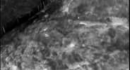
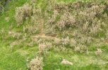
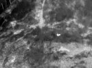
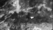
So 1. Question, what height can i fly to find something warm (fawn/cat size) in higher grass ? or at least spot the warm spot so i can zoom in with the normal cam ?
2. I would maybe also partly use it for mapping. i saw i only can use follow terrain in pre Mission planning if i buy the rtk Version. But i also saw i could import waypoints as an kmz/kml file. So if i make my path with litchie (following terrain), export it as kml and then import it to the 3t, will the work and follow the terrain ? Is there any Waypoint limitation when importing kml ? is there a "swap Batterie Option" when flying the kml and restarting at last waypoint if Btterie swapped ?
3. I don't understand to much about technical Camera Parameters, can someone do a quick compare between the air2s and the normal 3t Camera for mapping ?
4. How long does a Batterie actually last using the thermal and normal Cam together ? And How long does a Batterie take to charge ? (How many Batteries (and chargers) will i need for continous flying if charged while flying?)
5. Is someone else using the 3t for mapping also and has some good advice ?
6. RC, in the Set i'm thinking about there would be a RC pro Enterprise included, is this the best RC for the 3t or are there other / better options ? (i get a bit confused with all those DJI RC's and some seem to be not as great according to the internet)
Best and thanks in advance!


