- Joined
- Nov 18, 2017
- Messages
- 969
- Reactions
- 530
- Age
- 67
Edit - found excellent thread on subject after creating mine.
Much good info & discussion... check it out!
Thread 'The BIG GNSS (GPS) Issue -- The Constructive Thread' The BIG GNSS (GPS) Issue -- The Constructive Thread
Regarding the SLOW GPS lock.
Not a expert on GPS, just read into the issues a bit to help understand why such a long delay to lock GPS.
From my rather limited understanding it's not a Mavic 3 FW related correction, but more of a satellite constellation group decision. In past DJI models (and other brands) have included the GLONASS and Galileo constellations as primary, along with the GPS GNSS constellation for a long time. The GLONASS system was removed from the Mavic 3 Firmware and substituted with the BeiDou constellation.
The GLONASS is a Russian Satellite system, Galileo is EU, and the BeiDuo is a Chinese satellite system... along with the GPS USA system. In the long scheme, the BeiDuo is suppose be much more accurate for aircraft under altitude 2,000Km and able to see 50% more satellites compared to other GPS systems.
The Craft's Firmware programming and the embedded circuits determine what satellite systems to examine & accept. Currently the long delay is the BeiDui Satellite system taking a much longer time communicating.
This may be associated to the BeiDou Constellation design... GPS, GLONASS, Galileo are basically "beacons" pickup by GPS GNSS Devices. The BeiDuo is a 2-way communication system, providing the ability to also transmit back to the Satilites: text msg, and various low level communications.
On the Mavic 3, my assumption is the quick 4-6 Satilites are likely GPS system, the extended time to obtain the remaining 6 satellites are likely BeiDuo system.
If that's accurate assumption, then a more efficient BeiDuo communication protocol would be needed to be programmed or the need to utilize GLONASS again to speed up the GPS lock. Until this is addressed, Mavic 3 will take time to lock onto 12+ Satilites.
A few interesting articles:

 www.voanews.com

 www.scmp.com


 blog.bliley.com
Much good info & discussion... check it out!
Thread 'The BIG GNSS (GPS) Issue -- The Constructive Thread' The BIG GNSS (GPS) Issue -- The Constructive Thread
Regarding the SLOW GPS lock.
Not a expert on GPS, just read into the issues a bit to help understand why such a long delay to lock GPS.
From my rather limited understanding it's not a Mavic 3 FW related correction, but more of a satellite constellation group decision. In past DJI models (and other brands) have included the GLONASS and Galileo constellations as primary, along with the GPS GNSS constellation for a long time. The GLONASS system was removed from the Mavic 3 Firmware and substituted with the BeiDou constellation.
The GLONASS is a Russian Satellite system, Galileo is EU, and the BeiDuo is a Chinese satellite system... along with the GPS USA system. In the long scheme, the BeiDuo is suppose be much more accurate for aircraft under altitude 2,000Km and able to see 50% more satellites compared to other GPS systems.
The Craft's Firmware programming and the embedded circuits determine what satellite systems to examine & accept. Currently the long delay is the BeiDui Satellite system taking a much longer time communicating.
This may be associated to the BeiDou Constellation design... GPS, GLONASS, Galileo are basically "beacons" pickup by GPS GNSS Devices. The BeiDuo is a 2-way communication system, providing the ability to also transmit back to the Satilites: text msg, and various low level communications.
On the Mavic 3, my assumption is the quick 4-6 Satilites are likely GPS system, the extended time to obtain the remaining 6 satellites are likely BeiDuo system.
If that's accurate assumption, then a more efficient BeiDuo communication protocol would be needed to be programmed or the need to utilize GLONASS again to speed up the GPS lock. Until this is addressed, Mavic 3 will take time to lock onto 12+ Satilites.
A few interesting articles:

China’s Rival to GPS Navigation Carries Big Risks
BeiDou satellite network was completed this month
 www.voanews.com

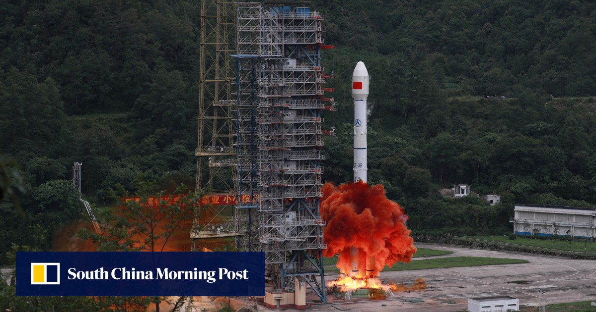
China’s BeiDou system ‘more visible from space than US rival GPS’
Researchers say a spacecraft travelling at or below an altitude of 2,000km would be able to see 50 per cent more Chinese satellites at any given time.

Is China's BeiDou a Better Version of GPS and GLONASS?
Here, we compare the world's major navigation satellite systems.
equalocean.com

What's The Differences Between the 5 GNSS Constellations?
Learn the differences between the 5 GNSS constellations including GPS, QZSS, BEIDOU, GALILEO, and GLONASS. Also the difference between GPS and GNSS...
Last edited:


