DJI Mavic, Air and Mini Drones
Friendly, Helpful & Knowledgeable Community
Join Us Now

Wind Map

pdouglass

New Member
Joined
Nov 26, 2021
Messages
3
Reactions
4
Location
Colorado Springs
I have been playing around with this wind map program for a couple of days. There is also an app for both apple and android . I'm sure this is nothing new to some of you. I purchased the premium offering. Thought I would suggest it.
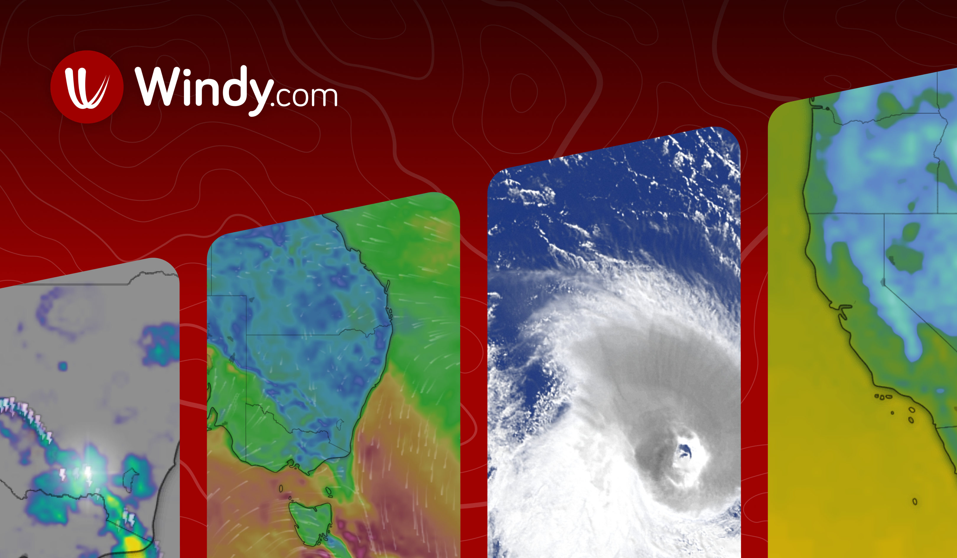
 
I downloaded this a couple of days ago. It appears that it could be helpful in areas beyond drones.
 
One of the things I thought was innovative is the wind direction at different altitudes. It only allows for 100 meter increments, so anything above 400 feet is irrelevant but still cool non-the-less.
 
Not trying to be pedantic here, but I'm tossing out a grain of salt to take with weather apps. I know folks, particularly younger ones, who put their absolute faith into every app on their phones and switch off their judgement. I'm thinking of a sailing buddy who insisted that the summer thunderstorm bearing down on us in Biscayne Bay wasn't going to be a problem because the current forecast called for light and variable winds.

Keep in mind that the product of all wind apps is an overall forecast for a rather large area. Local topography, buildings, trees, thermal updrafts from built areas, bare fields, etc., passing clouds, bodies of water, and other smaller effects can cause the actual winds in a location to differ greatly from the overall area forecasts. Forecasts are extremely useful for planning but they can't supplant a pilot's real-time observations.
 
Very nice. I use Dark Sky on iPhone and iPad, and am miffed that Apple bought the app so I can't have it on my Android devices any longer. It's nowhere near as detailed as this but has really good radar animation, with minute-by-minute morphing between five-minute radar scans so the motion appears smoother.

Dark Sky displays velocities for storms, but nothing approaching the vector field on Windy.
 
Last edited:
It's an excellent app! But your really have to understand the quirks of the various computer forecast models and how to interprete them.

There is an 'airports' layer that includes TAFs, NOTAMs and such. Very usable.
 

DJI Drone Deals

New Threads

Forum statistics

Threads
134,575
Messages
1,596,443
Members
163,076
Latest member
thelelans
Want to Remove this Ad? Simply login or create a free account