You are using an out of date browser. It may not display this or other websites correctly.
You should upgrade or use an alternative browser.
You should upgrade or use an alternative browser.
When I look at the Hover app there is a marked area that is not centered on an airport. It's marked 'Restricted Special Use Airspace'. It runs from just south of Kingscliff to the southern side of Byron Bay and out west as far as Murwillumbah. I imagine it's only Restricted at certain times, like when fighter jets are doing very low passes along the beach, but I'm trying to get more specific information.
Thanks EJay. I have seen that and also read up on the CASA website, but can't find the definition for the Restricted Special Use Airspace. It has to do with Amberley Airbase.
Fortunately I am not near airports, but I thought "controlled" airports had the 3nm restriction. I saw a map of restricted air spaces which I will try to relocate.
Michael Ainsworth
Well-Known Member
- Joined
- Apr 5, 2017
- Messages
- 1,008
- Reactions
- 942
- Age
- 73
http://www.airservicesaustralia.com/aip/current/ersa/PRD__18-Aug-2016.pdf
Just to make your head spin read this link.
Also I have another app called Safe to fly from Apple Store. Gives a bit more info.
Also this
Where can we operate Drones - Aerial Hotshots
You need permission to fly and the airspace is in use Mon to Fri.
Hope this helps.
Just to make your head spin read this link.
Also I have another app called Safe to fly from Apple Store. Gives a bit more info.
Also this
Where can we operate Drones - Aerial Hotshots
You need permission to fly and the airspace is in use Mon to Fri.
Hope this helps.
This CASA link looks straight forward.
Flying drones or model aircraft recreationally | Civil Aviation Safety Authority
Flying drones or model aircraft recreationally | Civil Aviation Safety Authority
Hi All - Very new pilot here. Only got the Mavic yesterday and am really bummed that the weather won't let me fly today.
I'm interested in the discussion about CASA rules and don't agree that it's clear. For example the height limit often quoted is 120m but the CASA site says in restricted airspace. Does this mean there isn't a limit in other areas? Sorry to be a NOOB.
I'm interested in the discussion about CASA rules and don't agree that it's clear. For example the height limit often quoted is 120m but the CASA site says in restricted airspace. Does this mean there isn't a limit in other areas? Sorry to be a NOOB.
120 everywhere welcome to the site we were all newbies once only 4 months for meHi All - Very new pilot here. Only got the Mavic yesterday and am really bummed that the weather won't let me fly today.
I'm interested in the discussion about CASA rules and don't agree that it's clear. For example the height limit often quoted is 120m but the CASA site says in restricted airspace. Does this mean there isn't a limit in other areas? Sorry to be a NOOB.
Thanks. I thought that was the case but hoped it wasn't!
I should have said not 120 around airports, CASA have been talking about an app for NFZ, thought it was supposed to be out about April.
Hogbert_1999
Member
- Joined
- Mar 20, 2017
- Messages
- 12
- Reactions
- 2
- Age
- 50
Davo you need to look at an ERSA handbook or look on oz runways (paid app) from someone and find out the details on the controlled airspace. You can find who has the authority for the zone the details of the zone included heights hours of operation type of zone etc.
Hope this helps.
Hope this helps.
i took it up to 120 yesterday. its pretty **** high. lol
random question. lets say im on the edge of a cliff and set RTH for 30m but i fly down into the valley, is the mavic going to pick 30m high from the ground in the valley ? ie: if the cliff is 50m high is the mavic going to fly into the cliff face when it returns home ?
random question. lets say im on the edge of a cliff and set RTH for 30m but i fly down into the valley, is the mavic going to pick 30m high from the ground in the valley ? ie: if the cliff is 50m high is the mavic going to fly into the cliff face when it returns home ?
SeaComms
Well-Known Member
- Joined
- Apr 11, 2017
- Messages
- 318
- Reactions
- 175
- Age
- 60
Should be 30 above the take off point. Also worth considering if you fly around the base of a hill and fly over the hill, it's 30m above takeoff not 30m above the current ground or building!
You would see a negative in your current height if you flew that scenario.
You would see a negative in your current height if you flew that scenario.
Should be 30 above the take off point. Also worth considering if you fly around the base of a hill and fly over the hill, it's 30m above takeoff not 30m above the current ground or building!
You would see a negative in your current height if you flew that scenario.
right, so to clarify, if i fly the mavic down into the valley its going to read as negative 20m or whatever and then when it does the RTH its going to be 50m above the valley ground level and 30m above the cliff face ground level ?
Yes, Its all relative to the take off location and height. If you go below you will se negative height. So if you are on a 1600 Ft mountain, you can go 1600 ft above this location. So effectivly doubling you height above SEA Level.right, so to clarify, if i fly the mavic down into the valley its going to read as negative 20m or whatever and then when it does the RTH its going to be 50m above the valley ground level and 30m above the cliff face ground level ?
120 isnt high.. get out i the country areas and take it to 500m
ty.
500m wow ! that would be so cool. will have to do that. do you have any videos of what youre seeing at that height ?
Make sure you are no near controlled air space, or near an airport, make sure there are no aircraft around etc. Normal common sense applies. There are apps that will alert you to other aircraft.
I went to 500 m when doing these videos, but I am not 100% sure this footage is at the max height, it would be close though. 500 meters isn't that high if you are use to looking out the window of real planes. but it still blows me away you can do it with a small drone. Things have come a long way.
PS I tried to put timing marks to jump to. Doesnt look like they work when embedding.
Around the 10 second mark on both.
PS, dont be tempted to go above 120 in the city, I live on the flight path between Pierce Air base and Garden island. Those Sea Hawks look to be right at the 500 Feet floor, and there is normally a close formation. the Mavic is slow to decent, and those things are on you pretty quickly. It wouldnt end well for the Mavic, maybe the chopper, and your life afterwards.
Also I flew the Old Freo power station. This is the turn marker for Jandacot air port for light aircraft, The real aircraft should be at 500 feet or higher turning there, more like around 1500 ft my pilot friends say, (Choppers are always lower at around 500 feet) but it is the place where they are descending. I just gave myself more of a buffer to make sure. Keep well out of their way.
Also I flew the Old Freo power station. This is the turn marker for Jandacot air port for light aircraft, The real aircraft should be at 500 feet or higher turning there, more like around 1500 ft my pilot friends say, (Choppers are always lower at around 500 feet) but it is the place where they are descending. I just gave myself more of a buffer to make sure. Keep well out of their way.
im too ashamed to put up any video footage cos my video sucks a$$ at this point. but loving the angles of photos i can get with this.
made a big mistake and recorded at 1080/60 today. the footage is horrific. lol
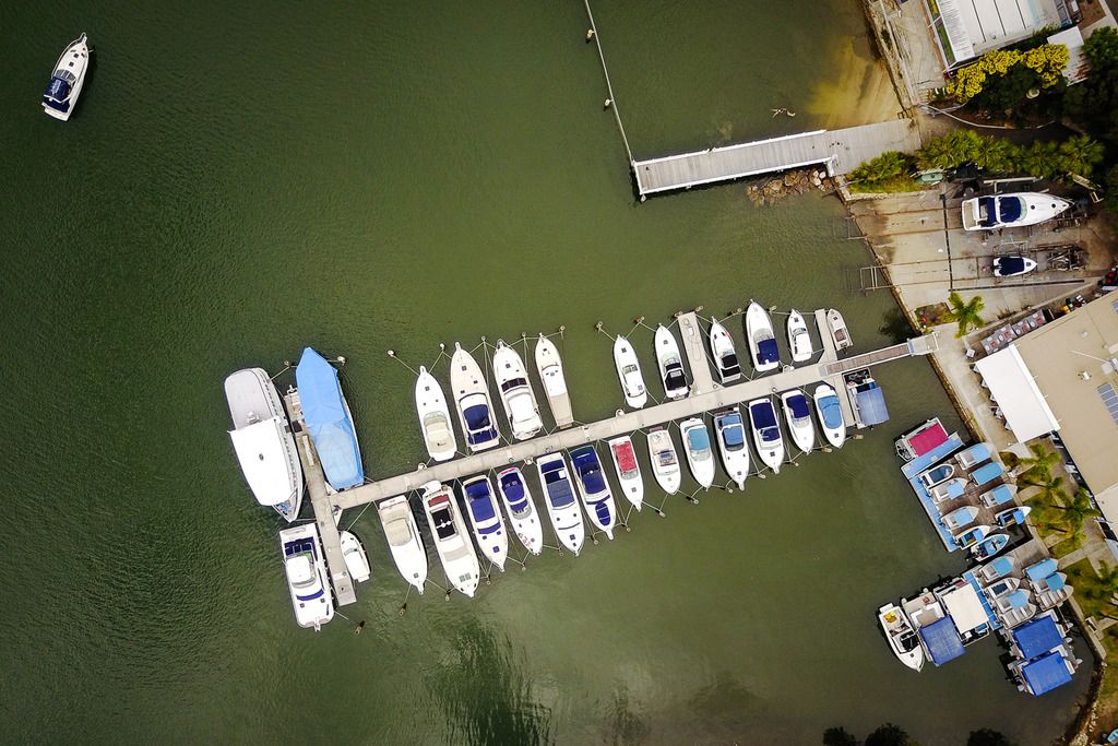
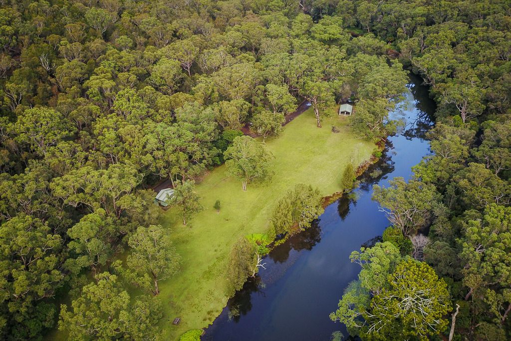
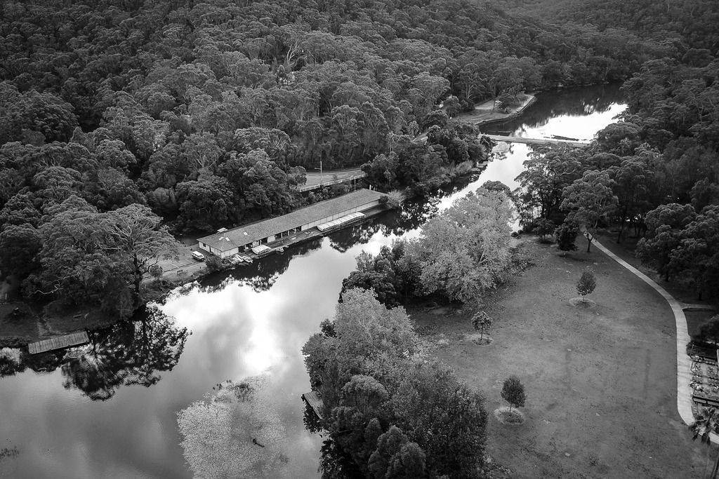
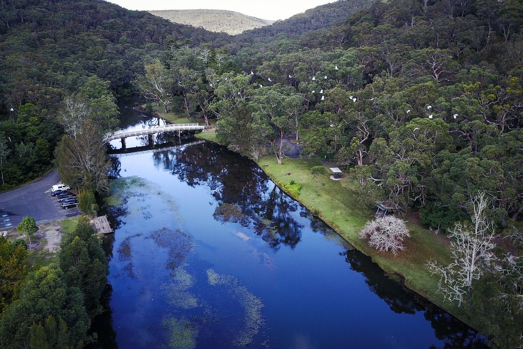
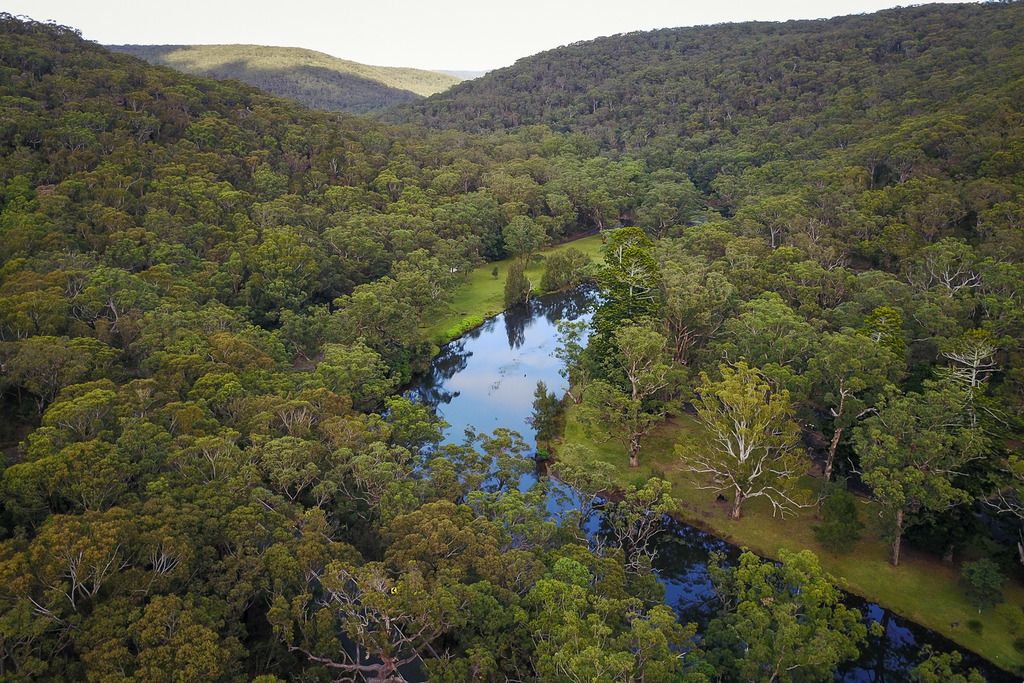
made a big mistake and recorded at 1080/60 today. the footage is horrific. lol


Last edited:
Similar threads
- Replies
- 7
- Views
- 1K
- Replies
- 6
- Views
- 2K
- Replies
- 2
- Views
- 643
- Replies
- 4
- Views
- 1K
- Replies
- 40
- Views
- 20K
DJI Drone Deals
New Threads
-
3 Second attempt to navigate coming clouds
- Started by alex_markov
- Replies: 0
-
-
-
Air 3 3 Features I Love About New DJI Drones
- Started by VegardBerland
- Replies: 1
-


