Hello, I am looking for confirmation of some information. To which pixel does the GPS data in the image metadata refer to? Centre of image, corner of image?
The reply to the same question I posted on the DJI forum is that the coordinates refer to the centre of the camera.,
"It is necessary to combine position of the center of the camera + camera Heading (true North) + camera pitch. This is the reason why it is recommended to always make a dataset with images taken at nadir, then to complete if necessary with images that have an angle." I need some documentation I can give to the client to back this up.
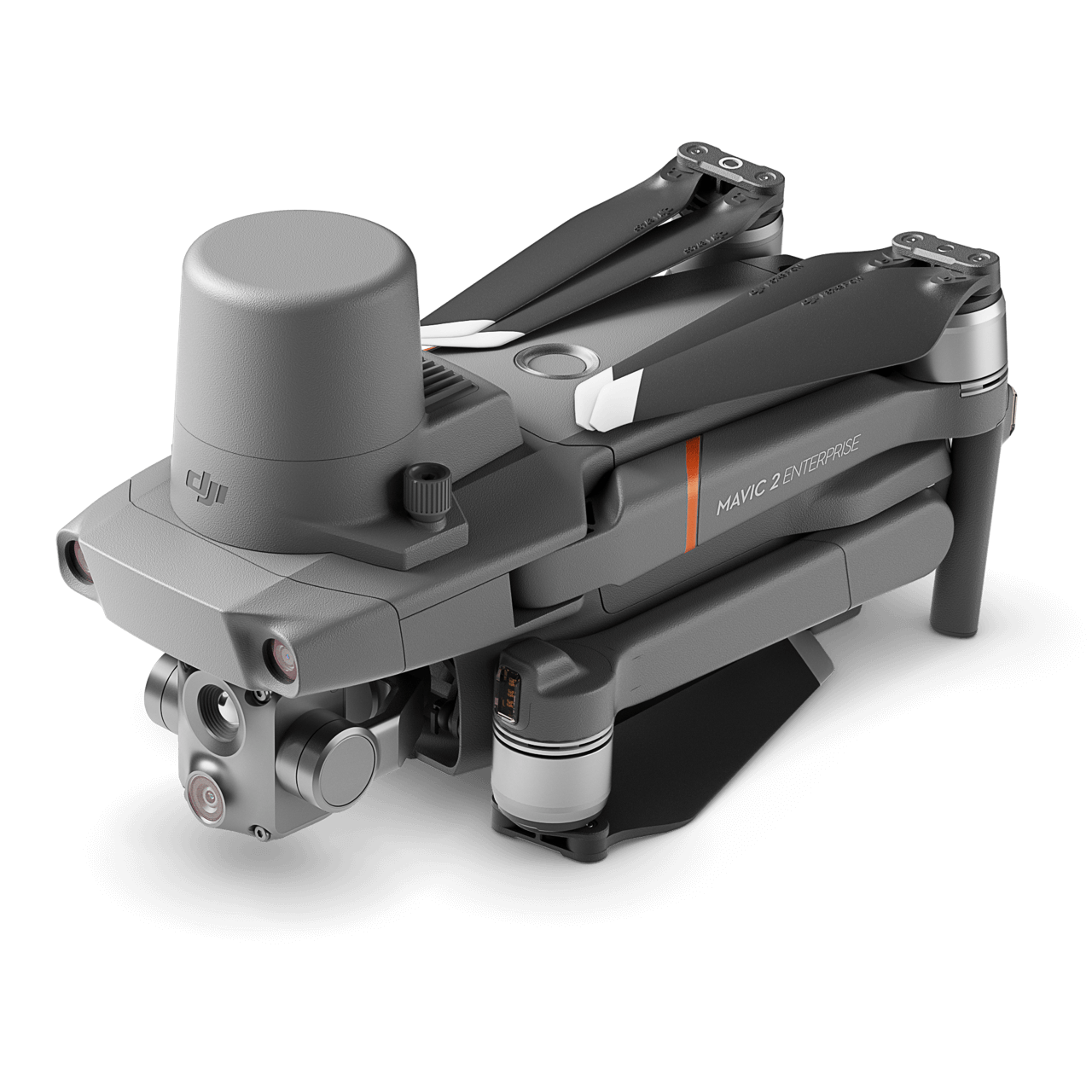
We are using a Mavic 2 Enterprise Advanced to collect images of a solar PV installation for a company building a new software system for PV panel inspections. WE will be running the RTK unit, with an Emlid broadcasting a local/custom NTRIP stream. The Emlid will be situated on a known point at the solar installation.
The reply to the same question I posted on the DJI forum is that the coordinates refer to the centre of the camera.,
"It is necessary to combine position of the center of the camera + camera Heading (true North) + camera pitch. This is the reason why it is recommended to always make a dataset with images taken at nadir, then to complete if necessary with images that have an angle." I need some documentation I can give to the client to back this up.
We are using a Mavic 2 Enterprise Advanced to collect images of a solar PV installation for a company building a new software system for PV panel inspections. WE will be running the RTK unit, with an Emlid broadcasting a local/custom NTRIP stream. The Emlid will be situated on a known point at the solar installation.