You are using an out of date browser. It may not display this or other websites correctly.
You should upgrade or use an alternative browser.
You should upgrade or use an alternative browser.
Finding it difficult to legally fly my drone
- Thread starter Infotraker
- Start date
- Joined
- May 25, 2017
- Messages
- 8,476
- Reactions
- 7,967
- Age
- 63
Gives me reasons to research Queensland and WA.
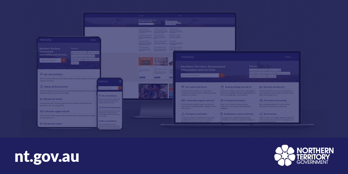
NT (Northern Territory) is good too.
A simple, free permit to hobbyists, you just let them know the start and end dates of your entire state (territory) visit, and you are covered for all their parks

Rules for flying drones in parks
Rules for flying drones in approved NT parks and reserves.
Check links to open parks, and parks with a few conditions (usually cultural restrictions on some place(s)).
The PDF application, so easy . . .
Timmo_aus
Member
Looks like a blanket ban here in Vic. Safety in nature
Quote:
Recreational use of RPAS by the general public is prohibited on Parks Victoria managed land. The recreational use of RPAS is not permitted under Parks Victoria regulations and visitors should refrain from flying them or they may receive a penalty infringement notice
I can’t see any obvious map on their website of all the National Parks in Vic though, and the Open Sky app doesn’t seem to cover it eg Jells Park in SE Melbourne is managed by Parks Victoria but looks ok on Open Sky...
SIT
Active Member
Looks like a blanket ban here in Vic. Safety in nature
Quote:
Recreational use of RPAS by the general public is prohibited on Parks Victoria managed land. The recreational use of RPAS is not permitted under Parks Victoria regulations and visitors should refrain from flying them or they may receive a penalty infringement notice
I can’t see any obvious map on their website of all the National Parks in Vic though, and the Open Sky app doesn’t seem to cover it eg Jells Park in SE Melbourne is managed by Parks Victoria but looks ok on Open Sky...
As I understand it Open Sky will only guide you to understand the airspace. Land use is where the councils or national parks may impose bylaws that restrict us on the ground.
Timmo_aus
Member
Seems so. I can get that local rules are pretty fluid at times, but a state wide restriction for national parks would be stable and it’d be helpful to have that marked up in the app. Might see if I can contact the developers with a suggestion. Might get a response ¯\_(ツ)_/¯As I understand it Open Sky will only guide you to understand the airspace. Land use is where the councils or national parks may impose bylaws that restrict us on the ground.
- Joined
- May 25, 2017
- Messages
- 8,476
- Reactions
- 7,967
- Age
- 63
The really bad states for drones in Nat Pks are Vic, Tas, SA, to a maybe slightly lesser degree NSW and possibly ACT.
Shame, the Vic High Country is magnificent, often sparsely populated with any other visitors.
There is a report button in the OpenSky app, but as per CASA email the other day OpenSky is shortly getting replaced by another CASA app, along with 2 new mysterious 'safety apps', so not sure the OS people will be taking on too many changes.
 mavicpilots.com
Hopefully the new app might have the option to turn on National Parks boundaries, the old CIFT app did this as an option.
But then different rules for different states, would be a bit unreliable anyway.
Shame, the Vic High Country is magnificent, often sparsely populated with any other visitors.
There is a report button in the OpenSky app, but as per CASA email the other day OpenSky is shortly getting replaced by another CASA app, along with 2 new mysterious 'safety apps', so not sure the OS people will be taking on too many changes.
CIFT will be obsolete
Sorry if this is widely known, I just get the updates and I think they are a bit slow compared to the website updates, so some may have already seen or know of this . . . In the coming weeks CASA will retire Can I Fly There and introduce a new app for drone flyers...
Hopefully the new app might have the option to turn on National Parks boundaries, the old CIFT app did this as an option.
But then different rules for different states, would be a bit unreliable anyway.
Which entity runs the GOR turnouts?
The provincial parks?
Can't be too many local councils involved.
Though now I remember all the tourist helicopters there so probably no go for any drones, since those helicopters bring in a lot of money.
The provincial parks?
Can't be too many local councils involved.
Though now I remember all the tourist helicopters there so probably no go for any drones, since those helicopters bring in a lot of money.
Timmo_aus
Member
Us Aussies will share a beer with anyone. ?Lot of good information here, probably could be useful to copy over to a dedicated Australia thread.
Similar threads
- Replies
- 38
- Views
- 5K
- Replies
- 19
- Views
- 11K
- Replies
- 3
- Views
- 2K
- Replies
- 7
- Views
- 3K


