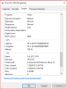
Can someone please help me figure out why the jpg below reports to be at 738.59 something when the altitude was approximately 350' AGL?
Thank your for your help and forgive me if it is something really obvious and escapes me 'cause I'm old and losing it...


Why does it say
Thank your for your help and forgive me if it is something really obvious and escapes me 'cause I'm old and losing it...
Why does it say