Chip
Well-Known Member
- Joined
- Sep 11, 2017
- Messages
- 2,212
- Reactions
- 2,733
You said that they are already flying BVLOS, over people etc. Where is this publicly on record?
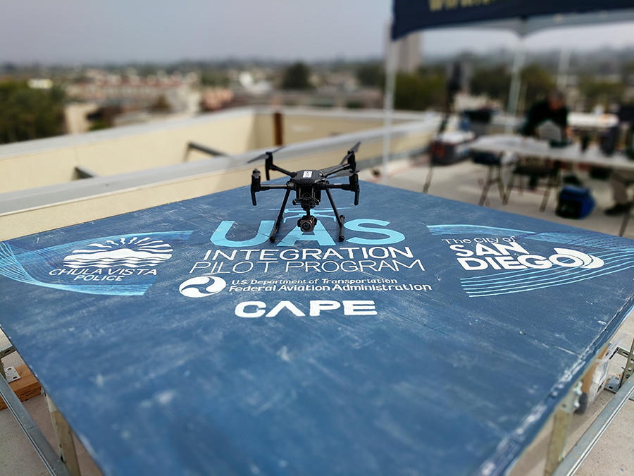
Yes FAA gave permission for PD to fly BVLOS 3 miles from PD rooftop. PD has openly discussed with journalists. What does the sectional look like for Chula Vista airspace just out of curiosity?


")