I just need some clarification to make sure I'm not doing anything wrong here... I can post screenshots/name airport if necessary.
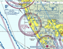
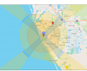
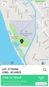
I live near a small airport and when I check in one of these apps it doesn't show anything around it. B4UFLY even says "Clear for Takeoff. No active advisories. Maintain situational awareness". I can even drop the pin on top of the runway and it says clear for takeoff (not that I would ever fly there, just showing the extreme). However, when I check Fly Safe I'm in the "Enhanced Warning Zone" and my house is even in "Authorized Zone" because it's lined up with the runway (a ~couple miles away). I have to check the boxes whenever I takeoff.
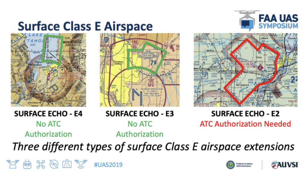
I think I read that it's E5 airspace and from searching I think that type starts at 700ft up and anything under is uncontrolled. faa.gov says:
I think I'm alright but I see small planes flying near my house quite frequently and I'm very nervous that I'm doing something wrong.
I live near a small airport and when I check in one of these apps it doesn't show anything around it. B4UFLY even says "Clear for Takeoff. No active advisories. Maintain situational awareness". I can even drop the pin on top of the runway and it says clear for takeoff (not that I would ever fly there, just showing the extreme). However, when I check Fly Safe I'm in the "Enhanced Warning Zone" and my house is even in "Authorized Zone" because it's lined up with the runway (a ~couple miles away). I have to check the boxes whenever I takeoff.
I think I read that it's E5 airspace and from searching I think that type starts at 700ft up and anything under is uncontrolled. faa.gov says:
Airports in Uncontrolled Airspace
For flights near airports in uncontrolled airspace that remain under 400’ above the ground, prior authorization is not required. When flying in these areas, remote pilots and recreational flyers must be aware of and avoid traffic patterns and takeoff and landing areas. A drone must not interfere with operations at the airport must yield right-of-way to all other aircraft. Uncontrolled airspace and other flying restrictions can be found on our B4UFLY app.
I think I'm alright but I see small planes flying near my house quite frequently and I'm very nervous that I'm doing something wrong.