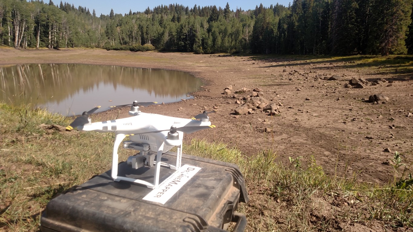
I’m looking for the best mapping app and software for use in remote areas without cell coverage. I’ve read many useful discussions about the DroneDeploy and Pixel4d but am still not sure if this will meet my needs and want a solution in place before my next expedition. I will be out of cell range for 6 days across a large area of desert. Equipment: Magic Pro Plat and running IOS. I need to map multiple locations spread out across several days. I am unsure how/if caching a map will work as the recommendations I read so far are to cache the map then turn off the phone and bring it up again just before flying. That will only work for the first location. Related, I wonder what options exist for planning a flight grid from a launch point without using a sat map, i.e. pre-programming a grid by size and resolution from a point but without pre-determined points. This would’ve great for exploratory use in the field without being able to pre-plan the flight. Thank you!


