I came up with the same problem in the Home Altitude being 200 feet BELOW the disconnect point altitude and when you put that 10 story building in the way, you have a major problem.
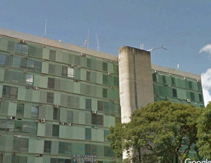
HOWEVER, I think you MIGHT have survived that discrepancy if not for THIS very serious problem. Did you realize what was on the top of that building???? A VERY TALL and high power radio transmitter antenna. This alone could easily have overwhelmed the poor little DJI even if the frequencies they were using were nowhere near what the Mavic uses.
Here's a picture of the antenna
View attachment 10820
I think your flight was doomed right from the start.