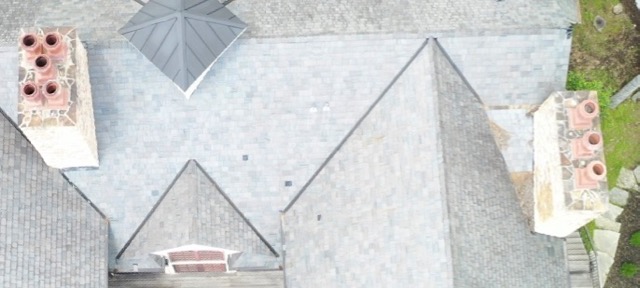
I have a need to do measurements of items while flying and filming with my drones.... estimate of the average measurement I would need to take is an item say 3-8 feet away .... 2ft x 5ft and give or take 1/4" error.
It there a way... Mavic 2 Pro or Mavic Mini? Or even a different drone?
It there a way... Mavic 2 Pro or Mavic Mini? Or even a different drone?