One of the members pondered if a RID Remote Broadcast Module installed on a RID Compliant Drone would interfere with the other broadcast and who would know…
This is a serious issue and one that I think needs its own Topic, rather than the fanciful musings of the Original Poster…
You also might be interested to find out exactly how much Flight Telemetry a person using a RID Drone Tracking App on their Smartphone would receive.
If you have a RID Compliant (enabled) Drone that transmits the FAA's required signal specifications, it transmits: the Drone's ID (Serial Number), the Drone's location and altitude, the Drone's velocity, the Control Station location and elevation (Your location whether you move about or not, because your controller "talks" to the drone and tells it where it is…), the Drone's Time mark (Flight Time), and any Emergency Status (low battery warnings, weak signals, strong winds, etc…)
If you add a Broadcast Module, it will also transmit at the same time. However, since it is not electronically connected to the Drone or the Controller, it can only broadcast information relative to itself.
The Module broadcasts the following information: the Drone's ID (an identification number imprinted into the circuitry of the module), the Drone's location and altitude (actually the Module's location and altitude…), the Drone's velocity (again, the Module's speed), the Takeoff location and elevation (where it was located when turned on), and the Time mark (how long it has been turned on)… And the Module will transmit that information for up to 1.5 km or almost a mile…
I have provided a Screen Grab of the DroneTag Drone Tracking App reading the Broadcast signal from an Add-On "DroneTag" Remote Module.
 bit.ly

The App being used is "DroneTag" available Free at your Android and iOS Play Store.
These Apps are capable of discriminating the signals from multiple Drones. Note that it shows the Map, the Flight Path, the Takeoff Location, and the Telemetry is recorded with altitude, speed, location, distance from controller, and so much more… It even displays the location of the Smartphone running the App and if its pointing in the direction of the Drone…

This App allows all this information to be downloaded as a CSV File and this information can then be provided as definitive proof of your flights to the FAA if you are flying where you should not, flying without an authorization or waiver, beyond Visual Line of Sight, etc…
So, if you have a Drone Vigilante who takes an undue interest in your flights, perhaps in your Neighborhood, a Local Park, A Job Site, etc… they might just save a batch of your flight files and submit all of them to the FAA to cause you trouble.
Based on several questions and observations made by some of the members of the various web sites that I have posted this information on, I have some follow-up information…
The FAA specified that the Remote Broadcast Module must be tamper resistant, meaning the Identification Number assigned to the unit cannot be changed. The Identification Number will be assigned by the manufacturer.
Next, if your Drone is a Non-Compliant Unmanned Aircraft (no built in RID…) and you are required to use a Remote Broadcast Module due to the drone's weight (for Rec Pilots…) or the drone (all weights…) is used in a Part 107 Operation, then you will be required to go into your FAADroneZone Account and edit the Drone's Identification Number (usually the Serial Number…) and change it to the Remote Broadcast Module Identification Number.
For more information, please see the 470-Page FAA Final Rule…
or a more condensed, and readable version put out by the FPV Freedom Coalition…
Please remember, I am only trying to be the "Messenger" with this information. I do not necessarily subscribe to the need for RIDs; however, with that being said; That Bozo who flew his Mini 3 into the ballpark and interrupted the Baseball game, (please excuse the pun…), we need to be RID of Drone Flyers like that…
This is a serious issue and one that I think needs its own Topic, rather than the fanciful musings of the Original Poster…
You also might be interested to find out exactly how much Flight Telemetry a person using a RID Drone Tracking App on their Smartphone would receive.
If you have a RID Compliant (enabled) Drone that transmits the FAA's required signal specifications, it transmits: the Drone's ID (Serial Number), the Drone's location and altitude, the Drone's velocity, the Control Station location and elevation (Your location whether you move about or not, because your controller "talks" to the drone and tells it where it is…), the Drone's Time mark (Flight Time), and any Emergency Status (low battery warnings, weak signals, strong winds, etc…)
If you add a Broadcast Module, it will also transmit at the same time. However, since it is not electronically connected to the Drone or the Controller, it can only broadcast information relative to itself.
The Module broadcasts the following information: the Drone's ID (an identification number imprinted into the circuitry of the module), the Drone's location and altitude (actually the Module's location and altitude…), the Drone's velocity (again, the Module's speed), the Takeoff location and elevation (where it was located when turned on), and the Time mark (how long it has been turned on)… And the Module will transmit that information for up to 1.5 km or almost a mile…
I have provided a Screen Grab of the DroneTag Drone Tracking App reading the Broadcast signal from an Add-On "DroneTag" Remote Module.
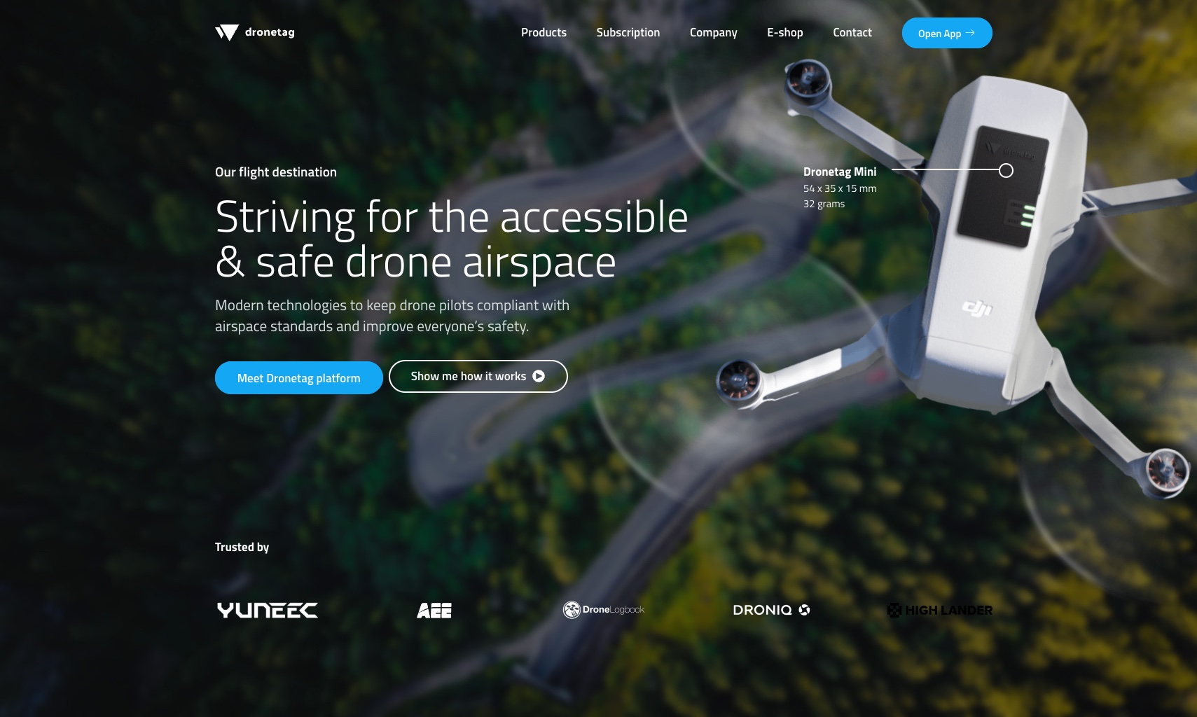
Dronetag
Dronetag develops a solution for safe and efficient drone traffic management in the European airspace
bit.ly
The App being used is "DroneTag" available Free at your Android and iOS Play Store.
These Apps are capable of discriminating the signals from multiple Drones. Note that it shows the Map, the Flight Path, the Takeoff Location, and the Telemetry is recorded with altitude, speed, location, distance from controller, and so much more… It even displays the location of the Smartphone running the App and if its pointing in the direction of the Drone…
This App allows all this information to be downloaded as a CSV File and this information can then be provided as definitive proof of your flights to the FAA if you are flying where you should not, flying without an authorization or waiver, beyond Visual Line of Sight, etc…
So, if you have a Drone Vigilante who takes an undue interest in your flights, perhaps in your Neighborhood, a Local Park, A Job Site, etc… they might just save a batch of your flight files and submit all of them to the FAA to cause you trouble.
Based on several questions and observations made by some of the members of the various web sites that I have posted this information on, I have some follow-up information…
The FAA specified that the Remote Broadcast Module must be tamper resistant, meaning the Identification Number assigned to the unit cannot be changed. The Identification Number will be assigned by the manufacturer.
Next, if your Drone is a Non-Compliant Unmanned Aircraft (no built in RID…) and you are required to use a Remote Broadcast Module due to the drone's weight (for Rec Pilots…) or the drone (all weights…) is used in a Part 107 Operation, then you will be required to go into your FAADroneZone Account and edit the Drone's Identification Number (usually the Serial Number…) and change it to the Remote Broadcast Module Identification Number.
For more information, please see the 470-Page FAA Final Rule…
or a more condensed, and readable version put out by the FPV Freedom Coalition…

Please remember, I am only trying to be the "Messenger" with this information. I do not necessarily subscribe to the need for RIDs; however, with that being said; That Bozo who flew his Mini 3 into the ballpark and interrupted the Baseball game, (please excuse the pun…), we need to be RID of Drone Flyers like that…


 do exist and I can see how the tech could allow them to monitor or see vital information about drone flights - I'll give you that. But they can also hop in a car and follow me down the road every day and film my every move while driving. They could then compile a 'showreel' of me speeding, running red lights or stop signs or any other possible infractions. They could then go down to the local police station and present their case. . . . . . .
") (scouts honor) and 2], because neither the Karen Driver Vigilante nor the police, work like that. Further look at what it takes for the FAA to get into gear and actually take action (such as fines,) against a drone pilot. Re: the Philly Drone Pilot guy. There are guys on this forum bragging they break the rules - has the FAA given them a call? So yeah if you're a habitual rule breaker and anti-authority specialist, you may find RID to be a thorn in your side, and in that respect; Okay.
(scouts honor) and 2], because neither the Karen Driver Vigilante nor the police, work like that. Further look at what it takes for the FAA to get into gear and actually take action (such as fines,) against a drone pilot. Re: the Philly Drone Pilot guy. There are guys on this forum bragging they break the rules - has the FAA given them a call? So yeah if you're a habitual rule breaker and anti-authority specialist, you may find RID to be a thorn in your side, and in that respect; Okay.