Hi,
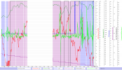
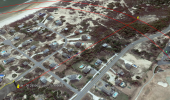
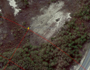
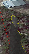
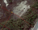
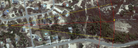
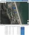
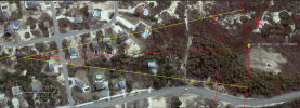
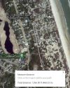
I'm hoping to get some help understanding my flight info from everyone here more knowledgeable than myself. I lost connection to my Mini and RTH wouldn't work because of strong winds. It didn't seem strong on the ground, but at altitude it was apparently. Find My Drone on the app shows its last reported location, but still at 94 ft altitude. It also shows a last photo the drone took on its own, but that location is actually 450 feet north and 40 seconds earlier, so I'm not sure why it does that. Another user told me his drone flew another 3 minutes after its last location, so mine could be anywhere if the same happened here. The last little bit of the flight path seems to show a U turn. I thought this might be a spiral to the ground as it lost power, but the reported altitude never changed. I've searched the area but its also heavily wooded. It appears it was drifting due south with the wind, so I also searched along a projected path, also heavily wooded. Does it make sense it would stop reporting and completely shut down at 17% battery? Or did it stop reporting to use powers for the motors and continue flying, or emergency land? Any ideas on where I should search?
Any help is appreciated. Hopefully the link works to the data.


