So my Smart Controller crashed during RTH, and when I got a connection again all I got was a black screen and IMU error. 
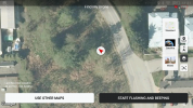
I'm heartbroken as my drone is my baby... Anyone had similar happen? I've stood on top of the GPS dot for last known coordinates and it's in the middle of a blackberry prickle bush field and I can't find it anywhere
I'm heartbroken as my drone is my baby... Anyone had similar happen? I've stood on top of the GPS dot for last known coordinates and it's in the middle of a blackberry prickle bush field and I can't find it anywhere