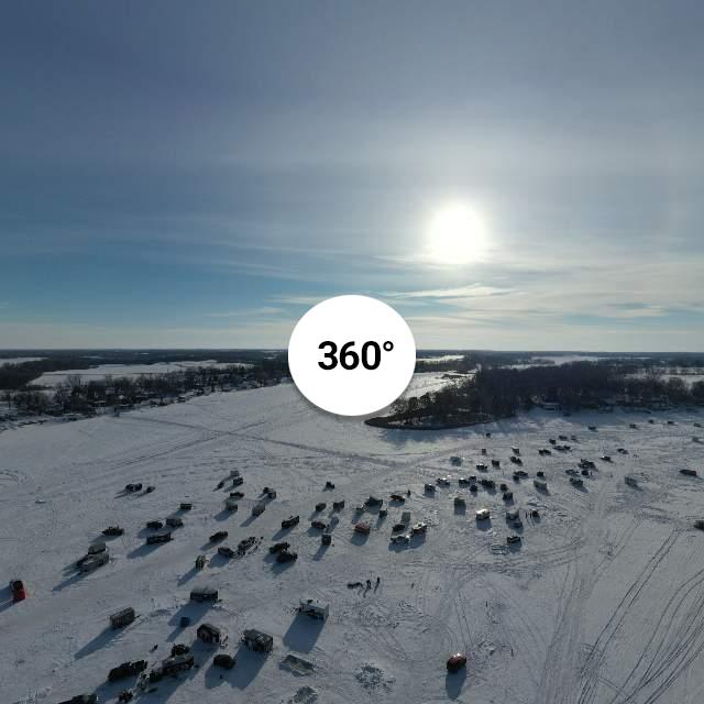
I haven't mastered the software I have (Photoshop Elements 2021/ Cyberlink PhotoDirector 365) to be able to post work the 26 Raw photo's into a more pleasing, working, finished 360° photo. I used the Mavic 2 Pro Sphere panoramic drone produced photo to post here.
It's a slow process but if anyone can help with any of these software programs to point me in the right direction I'd appreciate it much and Thank you.

 kuula.co
It's a slow process but if anyone can help with any of these software programs to point me in the right direction I'd appreciate it much and Thank you.

Original Panoramic of Maple Lake at 200 feet. This was taken 1...
Original Panoramic of Maple Lake at 200 feet. This was taken 1-29-2022 and is the fourth photo for the day.


