DJI Mavic, Air and Mini Drones
Friendly, Helpful & Knowledgeable Community
Join Us Now

Altitude zones: How are they enforced by the drone?

Status
Not open for further replies.
This response for example:
You're quoting a response that only talks about the height above takeoff point.

The question is about zones that are defined either based on MSL or AGL. From my experience DJI doesn't care and just uses above takeoff, but OP insists they don't. If they don't then it has to be GPS since DJI drones have no other absolute altitude reference.
 
Thank you NOT for an utterly useless response.

Please reread the OP and see if you have anything directly to add.

BTW, it's the driver's responsibility to follow speed limits on public roads. I decided you needed to know that. 🙄
My point was that it’s up to the pilot to be aware of the height, the drone can only give its height from takeoff point to reference to give its position in reference to attitude zones. If you took of from the roof of a high rise, it would breach any altitude limits enforced through the software
 
  • Like
Reactions: rjwmorrell
You're quoting a response that only talks about the height above takeoff point.

The question is about zones that are defined either based on MSL or AGL. From my experience DJI doesn't care and just uses above takeoff, but OP insists they don't. If they don't then it has to be GPS since DJI drones have no other absolute altitude reference.
Why does it have to be GPS, when there are no references that support that assumption?
 
Why does it have to be GPS, when there are no references that support that assumption?
What else could it be? Getting absolute altitude out of a barometer would require entering the QNH for the location at the time of flight, which is not something you can do on DJI aircraft.
 
  • Like
Reactions: okw
It uses barometric pressure sensors to measure altitude.
Partly correct.
Has anyone yet come up with a reasonable answer for how we are supposed to real-time calculate the variation in ground level under the craft whilst in flight ?

You know, like if we launch from the top of a huge hill, rise to 120m above it, and then fly away from the hill, and across a valley to (let's say) another hill on the other side of it. Sure, we are required to drop level as we cross the valley, but how the hell are we meant to judge how much and when ?
Well, a proper site survey helps, but there's no exact measurement method I can think of.

The other day I was flying in the area of an escarpment. The drone was about 20-30 AGL at the top where i was. I flew down into a valley, and I knew the escarpment vertical is about 30m, so I estimated my AGL to now be about 60m.

It only really mattered because I was flying the Air 2S. There is no altitude limit on a sub 250g drone in Canada so when I switched to the Mini 3 I wasn't concerned with my AGL in relation to the lower area.
 
  • Like
Reactions: AeroJ
You're quoting a response that only talks about the height above takeoff point.

The question is about zones that are defined either based on MSL or AGL. From my experience DJI doesn't care and just uses above takeoff, but OP insists they don't. If they don't then it has to be GPS since DJI drones have no other absolute altitude reference.
I think that the OP is wrong. You are correct in saying that the only way would be info from gps or an ability to input QNH (or some way of acquiring QNH) and this is not the case

[Removed by moderator]
 
Last edited by a moderator:
  • Like
Reactions: Kilrah
Thank you NOT for an utterly useless response.

Please reread the OP and see if you have anything directly to add.

BTW, it's the driver's responsibility to follow speed limits on public roads. I decided you needed to know that. 🙄
You might want to read the Community Standards Rules. Your response to totally sarcastic and not up to community standards.
 
  • Like
Reactions: AnzacJack
I think that the OP is wrong. You are correct in saying that the only way would be info from gps or an ability to input QNH (or some way of acquiring QNH) and this is not the case

I don't think you understand his original question. It's a valid question that no one has addressed and most seem to misunderstand.

How does a DJI drone evaluate whether it has entered into an area with limitations defined by altitude above sea level?

However the OP is a prickly prick who only wants to hear an answer that supports his reasoning.

Is your teenager using your account?
 
Maybe I'm not understanding this at all
From what I understand, the craft will detect it has entered into the altitude area from any height. Even at ground level the drone will tell me I'm in a altitude, even if that restricted zone may start at 120m. It is just letting me know I'm in the area. It is not reporting this from its vertical position, but its horizontal position on the map. The controller will usually tell me that I'm in an altitude restricted zone of 120m. I can fly around under this height, but i have been made aware that the restriction is in place above the set height. The drone only knows its height above take off so i need to manage my altitude myself. I don't believe the drone enforces this limit at all and is only giving me a warning.
If I'm not making sense, then i obviously understand the original question and talking about something else.
 
  • Like
Reactions: jephoto
Maybe I'm not understanding this at all
From what I understand, the craft will detect it has entered into the altitude area from any height. Even at ground level the drone will tell me I'm in a altitude, even if that restricted zone may start at 120m. It is just letting me know I'm in the area. It is not reporting this from its vertical position, but its horizontal position on the map. The controller will usually tell me that I'm in an altitude restricted zone of 120m. I can fly around under this height, but i have been made aware that the restriction is in place above the set height. The drone only knows its height above take off so i need to manage my altitude myself. I don't believe the drone enforces this limit at all and is only giving me a warning.
If I'm not making sense, then i obviously understand the original question and talking about something else.

I think the OP is referring to altitude zones that have floors above which the drone can't climb. It's fine to fly below the floor altitude but you can't climb above the floor level. The floors are defined as altitude above mean sea level.

So, how does a drone equipped with a barometric altimeter that is set to zero at the takeoff location and measures altitude above ground level know when it's reached a particular altitude above sea level?

@Droning on and on... , is that good interpretation of your original question?
 
That’s how I read it. And the answer I think is that drone does not know this nor restrict. Just advisesIMG_6376.jpeg
 
That’s how I read it. And the answer I think is that drone does not know this nor restrict. Just advisesView attachment 175795
See the OP's post #10.

In an altitude zone, particularly near an airport, it is possible to have your drone hit a ceiling and refuse to ascend further.

This has caused problems for some during RTH, causing the drone to stop short of its configured RTH homepoint-relative altitude, and hover in place until critical battery forces a landing, rather than flying home at the ceiling altitude.
 
These altitude limits, as defined by the FAA, are MSL. How is the drone detecting this altitude?
Perhaps you should better describe what sort of "altitude limit" you're referring to.

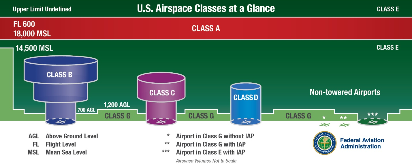
Yes, the FAA defines different classes of airspace depending on MSL altitude, all of which are irrelevant to drones restricted to operating below 400'AGL.
fig-ENR-1dot4-1.png

The artificial altitude zones, like every other geozone shown in DJI's Geozone system, are defined by DJI themselves. Unless you take off and fly only in perfectly flat terrain and the local barometric pressure remains constant, the altitude measured by the barometric altimeter is not an accurate measure of either AGL nor MSL. The drone's height is recorded as zero at takeoff, and everything thereafter is referenced to that zero height at takeoff location.

Conclusion: The drone is using GPS altitude to monitor and enforce altitude restrictions in the FlySafe database.
No, the drone always uses its barometric sensor to measure height relative to its takeoff location. Only during autolanding, the VPS height sensor is used to accurately lower the drone to a soft autolanding.

My point was that it’s up to the pilot to be aware of the height, the drone can only give its height from takeoff point to reference to give its position in reference to attitude zones. If you took of from the roof of a high rise, it would breach any altitude limits enforced through the software
No. Let's say you take off from the ground within a 60m "DJI Altitude Zone". The drone will be permitted (by DJI's restrictions) to climb only 60m higher than its takeoff location before the geozone restriction kicks in to prevent it climbing any higher.

If instead you take off from the top of a 40m building, the drone will still be restricted from climbing more than 60m higher than your takeoff location at the top of that building, or a total of 100m above ground.

In the DJI apps you can choose to manually set your own height restriction. It works the same way. That restriction is set relative to the drone's zero height at its takeoff location.

The drone does not use GPS measurement to determine height. It doesn't know whether it was sitting on the ground at the top of a hill or bottom of a valley or on top of building when it takes off. It records zero height at takeoff.

The FAA says you can't fly higher than 400' AGL, but the drone can only tell you its height relative to its takeoff location. It's up to you to take terrain features into account.

When within its operating range, the VPS height sensor gives an accurate AGL measurement, but that telemetry value is not displayed by the DJI Fly app, at least not with my Mini-1. But VPS height is displayed when using my Phantom 3 Pro.
 
I think that the OP is wrong.

I may be, and have no problem in being so. If thats the case, info beyond just, "that's wrong" is what I'm after.

From the anecdotal situations I've seen over the years, it looks like a hard ceiling. It also seems of very limited safety value if it can so easily be compromised by simply taking off higher than the reference ground.
 
Last edited:
I think the OP is referring to altitude zones that have floors above which the drone can't climb. It's fine to fly below the floor altitude but you can't climb above the floor level. The floors are defined as altitude above mean sea level.

So, how does a drone equipped with a barometric altimeter that is set to zero at the takeoff location and measures altitude above ground level know when it's reached a particular altitude above sea level?

@Droning on and on... , is that good interpretation of your original question?

You, and @Kilrah after a few posts, are the only participants so far.

And I confess that, at this point, I've exhausted all means I have explaining this, and seem to lack the language skills to make it clear.

[Removed by moderator]
 
Last edited by a moderator:
This thread has been closed. Name-calling is not prohibited
 
Status
Not open for further replies.
Lycus Tech Mavic Air 3 Case

DJI Drone Deals

New Threads

Forum statistics

Threads
133,793
Messages
1,587,551
Members
162,467
Latest member
Velmapeterson