- Joined
- Aug 31, 2018
- Messages
- 331
- Reactions
- 690
- Age
- 33
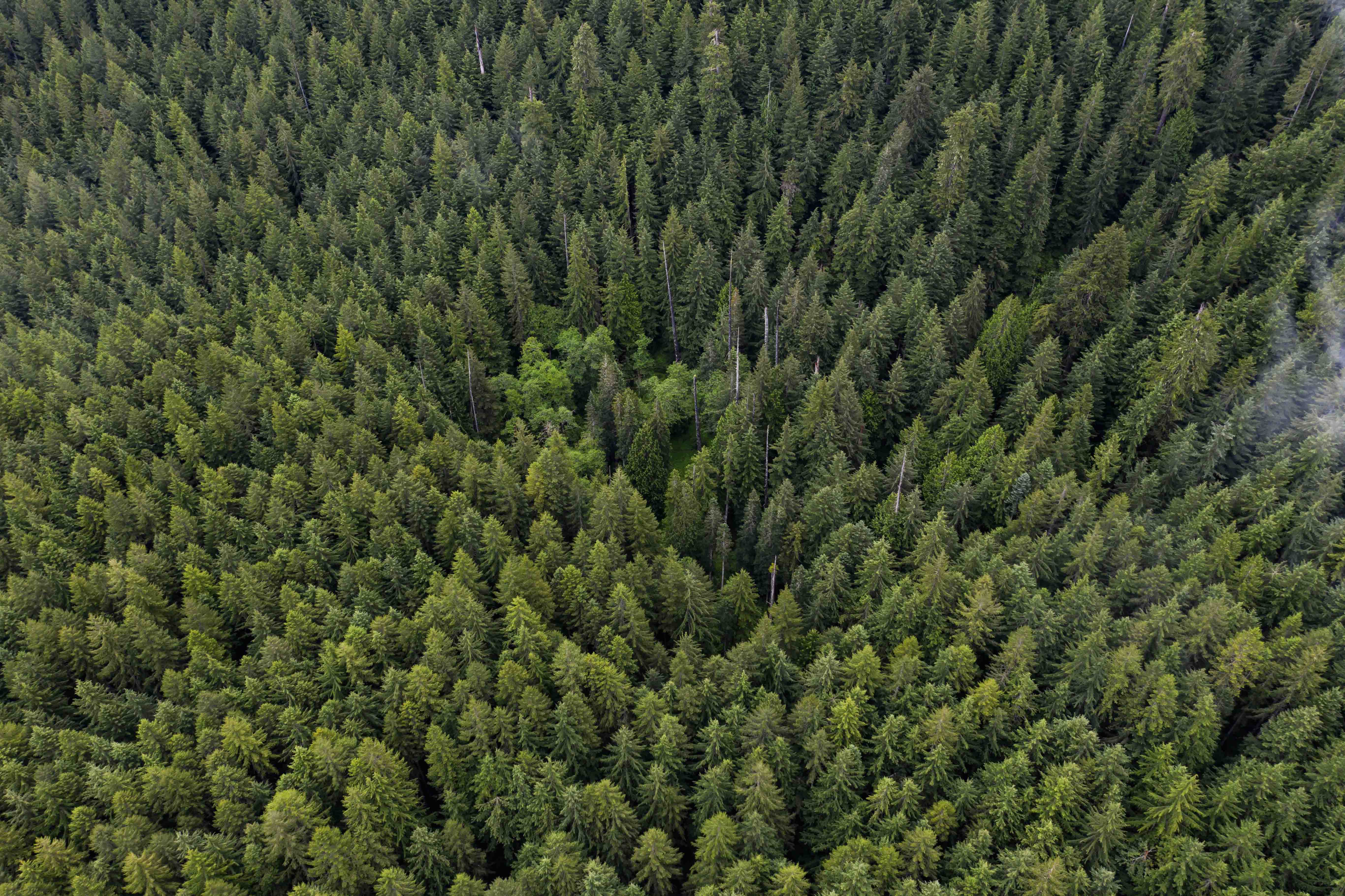
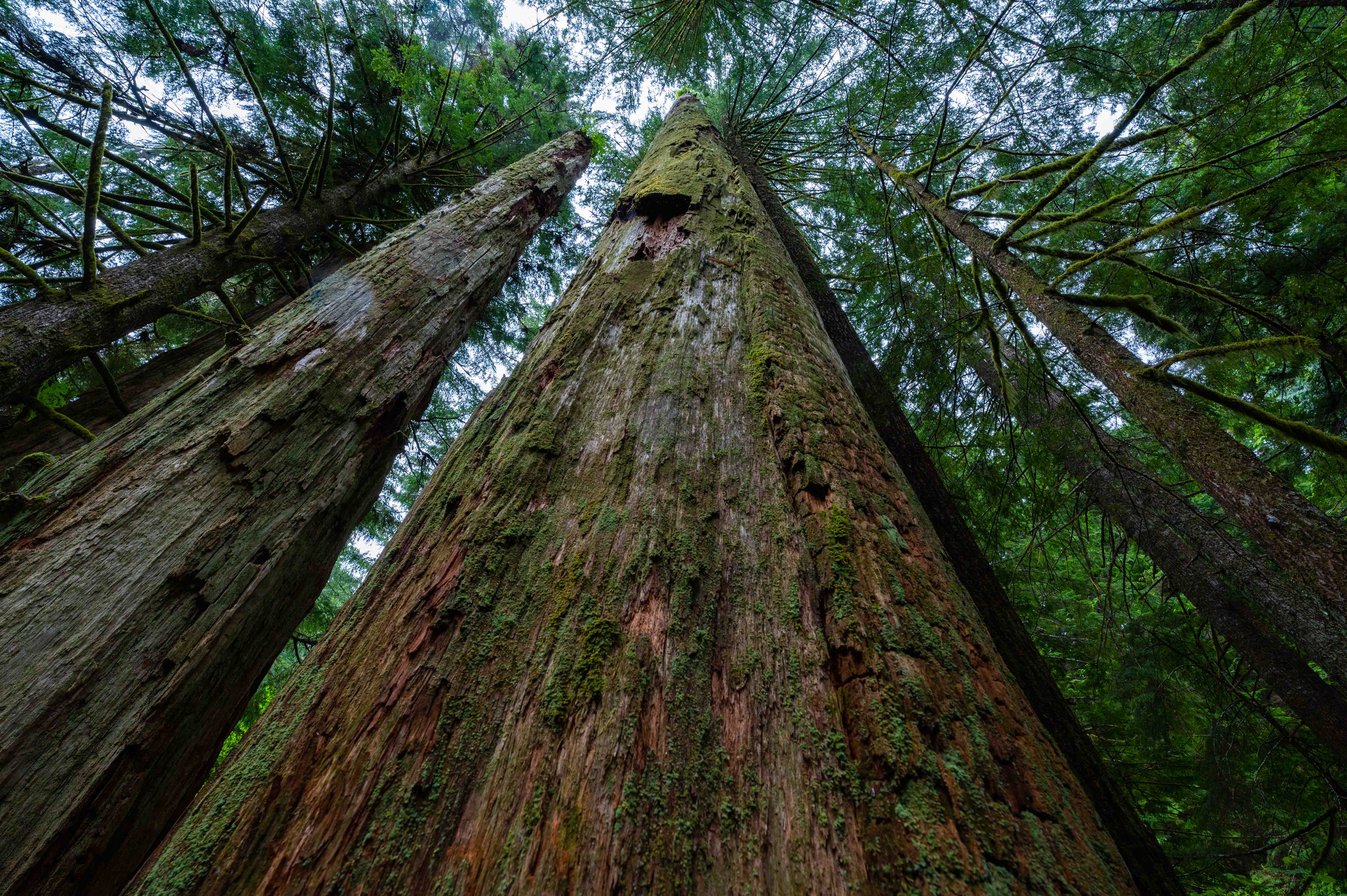
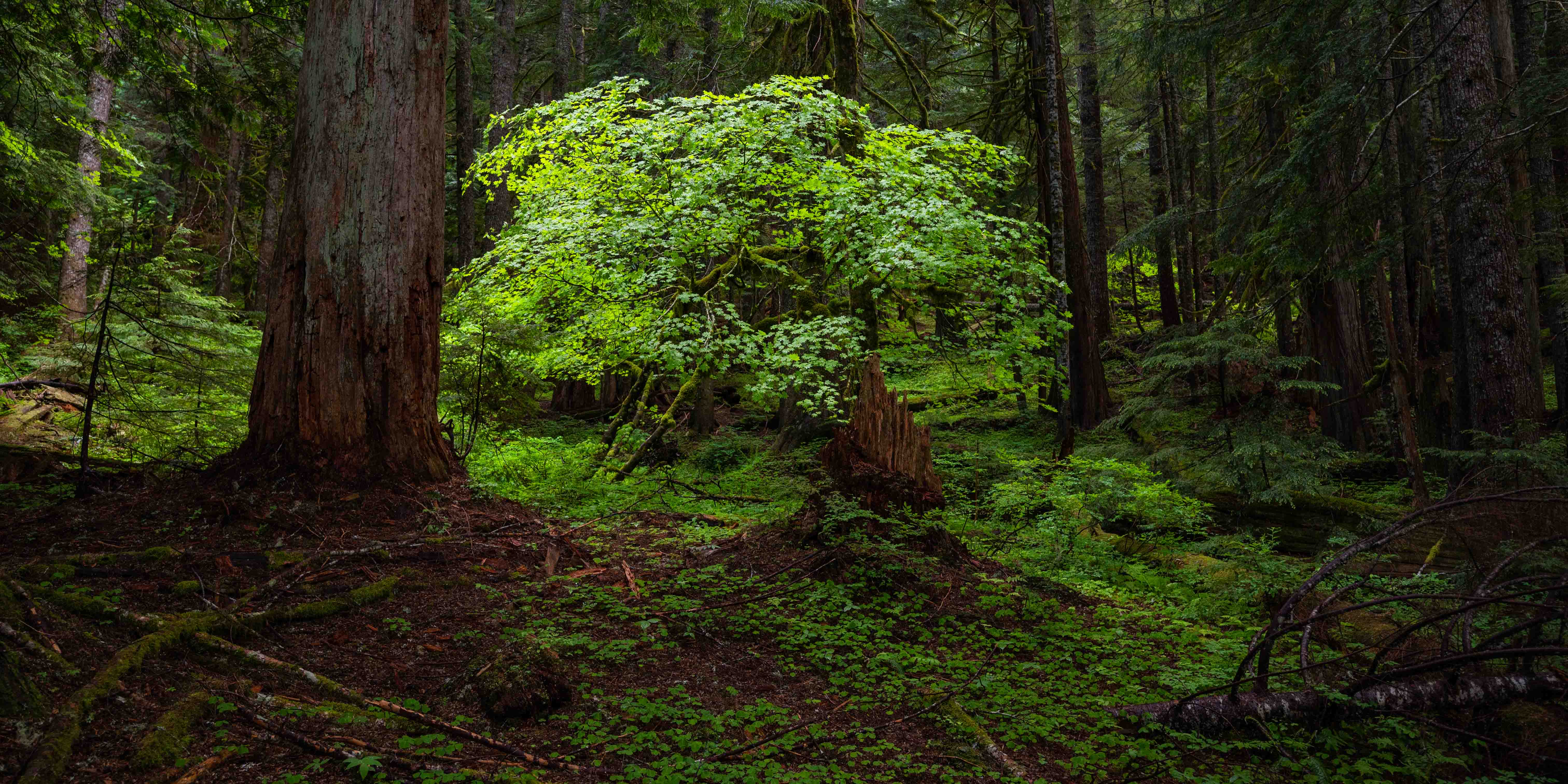
I recently found a true off-the-beaten-path hike, and decided to share the location since without boots on the trail it soon may not exist at all! The trail in question is known as "Mt. Mitchell via Sugarloaf", and is located in a unprotected wilderness area South of Mt. St. Helens. The trail passes through one of the largest intact areas of unprotected roadless areas untouched by logging in the Cascade Mountains. There are big meadows, intriguing ancient forest full of gigantic standing dead snags dating from the Yacolt burn, and a fantastic panoramic view at the top of Mt. Mitchell. Sadly however, there may not be much time left to hike here.
The trail lies on Washington State Trust Land, and the WA DNR now plans to build roads, a quarry, and clearcut 147 acres as part of the "Serenity Now" timber sale at the heart of this unprotected wilderness area. In the process they will obliterate much of the trail as well. The board of natural resources will decide the fate of this beautiful place on July 6th. Comments need to be sent by June 30th to be considered. You can also attend and speak at the meeting via Zoom.
For more information on what you can do to help: SERENITY NOW | CRF
If you'd like to visit, check out this guide at OregonHikers.org: : https://www.oregonhikers.org/field_guide/Mount_Mitchell_via_Sugarloaf_Trail_Hike
The trailhead is unsigned, and you have to navigate some backroads, but they were in good shape when I visited a few weeks ago. Directions are available on the Oregon Hikers page.
I filmed the aerial footage for this video using the DJI Mavic 2 Pro, the DJI Mavic Air 2S, and the DJI FPV drone. The ground footage was filmed with my Nikon Z6.
I should also note that this is a great area for for drone flying - there aren't any special regulations, air traffic is basically nonexistant, and there's lots of interesting locations to fly. If you don't mind driving on gravel roads, I highly recommend it.


