First of all I want to apologize if a thread similar to this already exists but I've not seen it.
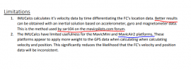
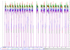
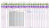
I was looking at the csv data and a doubt raised up: is it possible to plot the trace of a drone only using sensors and not the features regarding GPS?
Basically using the following ones: -OSD.hSpeed [MPH] - OSD.hSpeedMax [MPH] - OSD.xSpeed [MPH] -OSD.xSpeedMax [MPH] -OSD.ySpeed [MPH] -OSD.ySpeedMax [MPH] -OSD.zSpeed [MPH] -OSD.zSpeedMax [MPH] -OSD.pitch OSD.roll -OSD.yaw -OSD.yaw [360].
If someone of you has already read something about the topic I'm very glad to hear your voice!
Thank you in advance!
PS: Obviously post flight


