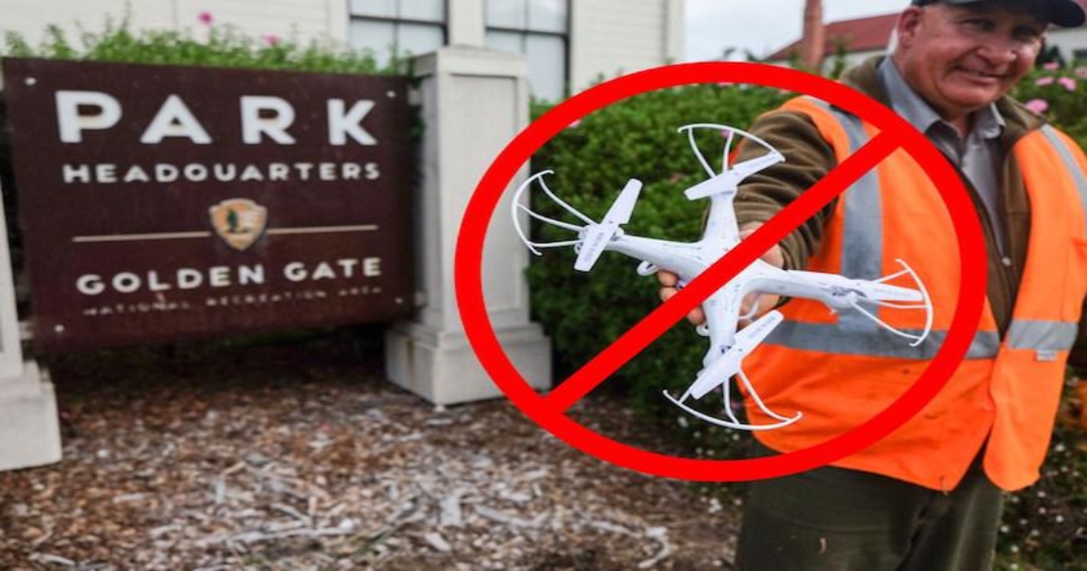
If we are not allowed to fly in a national parks how come it does not indicate this as a no fly zone in kitty hawk? For an example check out Jasper Arkansas. It sits in the Ozark St Frances National Forest but it shows that it is ok to fly. If you look just north of there the Buffalo National River Park is Red with a warning about flying in national parks.
is there a reason for this or am I missing something here? Thanks
is there a reason for this or am I missing something here? Thanks