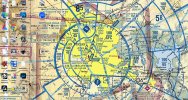
Studying for the 107 it seems like reading sectional charts is a big deal. I think they're pretty cool, though they could use a thorough modern overhaul but that's another story. My question is whether you carry a printed chart with you? Seems like if you're going through all the trouble to learn how to read them, maybe you should carry a printed one with you?
If you have printed charts, which ones would you recommend?
If you have printed charts, which ones would you recommend?