

Just wondering why DJI can’t find a way to show me, at least “in general”, what the AGL altitude of my drone is. Seems like it shouldn’t be all that difficult. Knowing the altitude at my takeoff point doesn’t help at all for me to stay within the 400’ AGL limit.

You are using an out of date browser. It may not display this or other websites correctly.
You should upgrade or use an alternative browser.
You should upgrade or use an alternative browser.
FAA sUAS 400’ AGL Requirement
- Thread starter BBOjai
- Start date
What kind of sensor would you tell DJI to use?Seems like it shouldn’t be all that difficult.
How much does it weigh and how much extra would it cost?
tleedom
Well-Known Member
Accurate AGL measurement is done with a transmitter and receiver that measure distance using Doppler radar and as Meta4 said above, that system is cost and weight prohibitive for the type of drones we use as hobbyists.
A Radar Altimeter works by bouncing a radar signal off the ground and measuring how long the signal took to return. The software knows how fast radar waves travel (the speed of light), and how long it took, so it halves the total distance to get the altitude above the ground.
A Radar Altimeter works by bouncing a radar signal off the ground and measuring how long the signal took to return. The software knows how fast radar waves travel (the speed of light), and how long it took, so it halves the total distance to get the altitude above the ground.
Here are some options (with prices) : Radar Altimeters - Radar Altimeters from Freeflight Systems.Seems like it shouldn’t be all that difficult.
If you strap a 3+ lb radar altimeter on the Mavic you won't be needing an altimeter.
Just wondering why DJI can’t find a way to show me, at least “in general”, what the AGL altitude of my drone is. Seems like it shouldn’t be all that difficult. Knowing the altitude at my takeoff point doesn’t help at all for me to stay within the 400’ AGL limit.
I don't think it's a matter of they "Can't" but a matter of:
- Is it practical?
- Will you still buy the aircraft if it now costs $5k instead of $1500?
- Are you willing to sacrifice flight time, flight performance and other "features" in order to fly around with this new heavy & bulky equipment?
I'd say most likely the answer would be NO in all cases noted above . . .
tleedom
Well-Known Member
The fact that we are limited to LOS operations, estimating the altitude of your AC within your flight range based on your launch point should not be a problem. A simple map reconnaissance should provide you with a good start.
If you pre-plan Litchi missions, you can use the option to utilize a Digital Elevation Map to create a mission in reference to the AGL at the various points of your mission.
brett8883
Well-Known Member
You can get laser range finders
 www.precisionprogolf.com
Oh come on all you need is one of these with the optics stripped out. Your looking at altimeters for manned aircraft. Sure I won’t want to rely on one of these for IFR manned aircraft navigation but it should give you plenty of accuracy for our purposes.Here are some options (with prices) : Radar Altimeters - Radar Altimeters from Freeflight Systems.
If you strap a 3+ lb radar altimeter on the Mavic you won't be needing an altimeter.
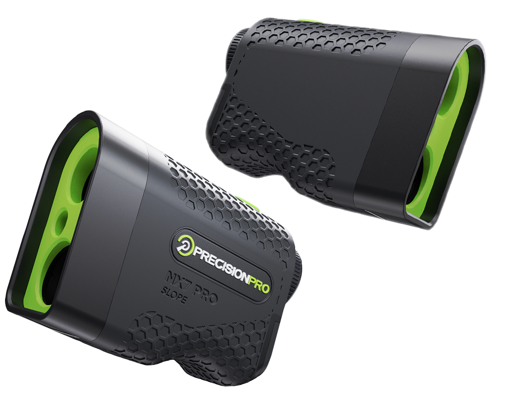
NX7 PRO SLOPE RANGEFINDER
The NX7 Pro Slope is a Precision Pro classic. Around since 2017, the product was refreshed in 2021. Strong performance is wrappped into a simple design featuring Adaptive Slope and easy flag pickups. The perfect no frills product for the golfer in need of accurate distances.
tleedom
Well-Known Member
Then teach a squirrel how to use it then send back the distance using hand signals.You can get laser range finders
Oh come on all you need is one of these with the optics stripped out.
NX7 PRO SLOPE RANGEFINDER
The NX7 Pro Slope is a Precision Pro classic. Around since 2017, the product was refreshed in 2021. Strong performance is wrappped into a simple design featuring Adaptive Slope and easy flag pickups. The perfect no frills product for the golfer in need of accurate distances.
brett8883
Well-Known Member
?. But really I’m saying DJI puts one into the drone. It was asked what type of sensor would be light enough and cost effectiveThen teach a squirrel how to use it then send back the distance using hand signals.
- Joined
- Feb 22, 2017
- Messages
- 2,096
- Reactions
- 1,300
- Location
- 48°18'25"N 11°52'10"E
- Site
- skydrone-systems.com
Maybe this: SF11/C (120 m)It was asked what type of sensor would be light enough and cost effective
It's relatively easy to make it work with equipment such as Pixhawk flight controllers.
If your DJI equipment (Matrice 210 or M600) is capable of interfacing PWM or IC2 signals, you are good to go.
brett8883
Well-Known Member
There you go. Put one in the Mavic. 35 grams.Maybe this: SF11/C (120 m)
It's relatively easy to make it work with equipment such as Pixhawk flight controllers.
If your DJI equipment (Matrice 210 or M600) is capable of interfacing PWM or IC2 signals, you are good to go.
I think I kinda understand what you all are saying.
It’s just seems that if I can get relatively accurate altitude readings from my iPhone & a map app while hiking, it wouldn’t be that difficult to install software for the drone to relay altitude at AGL. I do admit I’m very technologically challenged") !!!
!!!
It’s just seems that if I can get relatively accurate altitude readings from my iPhone & a map app while hiking, it wouldn’t be that difficult to install software for the drone to relay altitude at AGL. I do admit I’m very technologically challenged
!!!- Joined
- Feb 22, 2017
- Messages
- 2,096
- Reactions
- 1,300
- Location
- 48°18'25"N 11°52'10"E
- Site
- skydrone-systems.com
You're right. It should be no problem for DJI to let operators download DEM for the area they intend to fly.it wouldn’t be that difficult to install software for the drone to relay altitude at AGL
But be aware - is the DEM accuracy enough for your intended flight?
What accuracy does the DEM provider guarantee?
In addition, there might be buildings, antennas, trees and whatsoever you have to take into account.
Where does the DEM come from? Whoever supplies it most likely is charging the user(s) ...
tleedom
Well-Known Member
Yes there are several small laser rangefinders that are activated remotely. ATN makes a laser rangefinder that attaches to your firearm and is paired via Bluetooth to their Smart scopes and activated by a remote button used by the shooter.
The problem with a laser based rangefinder is that the beam is very small and any gaps in the surface you are over will result in fluctuations in altitude readout. A wooded area would be a good example. Not to mention the errors caused by variations in reflectivity (Sp) of the surface measured.
The problem with a laser based rangefinder is that the beam is very small and any gaps in the surface you are over will result in fluctuations in altitude readout. A wooded area would be a good example. Not to mention the errors caused by variations in reflectivity (Sp) of the surface measured.
I just thought of something that, in my simple mind, should be easy: an overlay map or just the DJI map showing elevation contour lines. I just can’t see how that would be very difficult. Oh well, I’ll just continue guessing the best I can when flying up or down mountains.
brett8883
Well-Known Member
With Litchi you can set the map to google terrain to see the contour linesI just thought of something that, in my simple mind, should be easy: an overlay map or just the DJI map showing elevation contour lines. I just can’t see how that would be very difficult. Oh well, I’ll just continue guessing the best I can when flying up or down mountains.
Fine....now let's add 3 oz.. ADS-B to the equation after 2020 and we are reaching for .5 lbs approximately....There you go. Put one in the Mavic. 35 grams.
Similar threads
- Replies
- 9
- Views
- 805
- Replies
- 53
- Views
- 2K
- Replies
- 9
- Views
- 1K


DJI Drone Deals
1. Mini 2
2. Mini 3 Pro
3. Mini 4 Pro
4. Air 2s
5. Air 3
6. Avata 2
7. Mavic 3 Pro
8. Mavic 3 Classic
2. Mini 3 Pro
3. Mini 4 Pro
4. Air 2s
5. Air 3
6. Avata 2
7. Mavic 3 Pro
8. Mavic 3 Classic
New Threads
-

-
 Air 3 Dunottar Castle, Stonehaven, Scotland
- Started by AlbionDrones
- Replies: 0
-
-

-
Members online
Total: 646 (members: 8, guests: 638)
Forum statistics
